Route manual chart e lo 1.the magnetic course/distance from wallasey wal 114 1 ? [ Attainment AIM ]
Question 88-1 : 279°/85 nm 311°/85 nm 279°/114 nm 311°/114 nm
At reference or use trm athinai hellinikon approach chart 29 1 .what is the ?
Question 88-2 : 3°e 3°w 5°e 5°w
 3°e.
3°e. Route manual chart e hi 5 caa edition. of the following the preferred airways ?
Question 88-3 : Ua34 ub19 poi ub195 uh40 fouco uh40 peric ua34 ub19 cgc ua25
 Ua34
Ua34 Route manual chart e lo 5.the airway intersection at ronneby 56°18'n 015°16'e ?
Question 88-4 : An ndb callisign n a tacan callsign ron a fan marker callsign lp an ndb callsign lf
 An ndb callisign n.
 Route manual chart e hi 4 caa edition. the magnetic course/distance from trent ?
Question 88-5 : 297°/57 nm 117°/71 nm 297°/70 nm 117°/57 nm
 297°/57 nm
 According to the chart the minimum obstruction clearance altitude moca is 8500 ?
Question 88-6 : 8800 ft 8500 ft 12800 ft 8200 ft
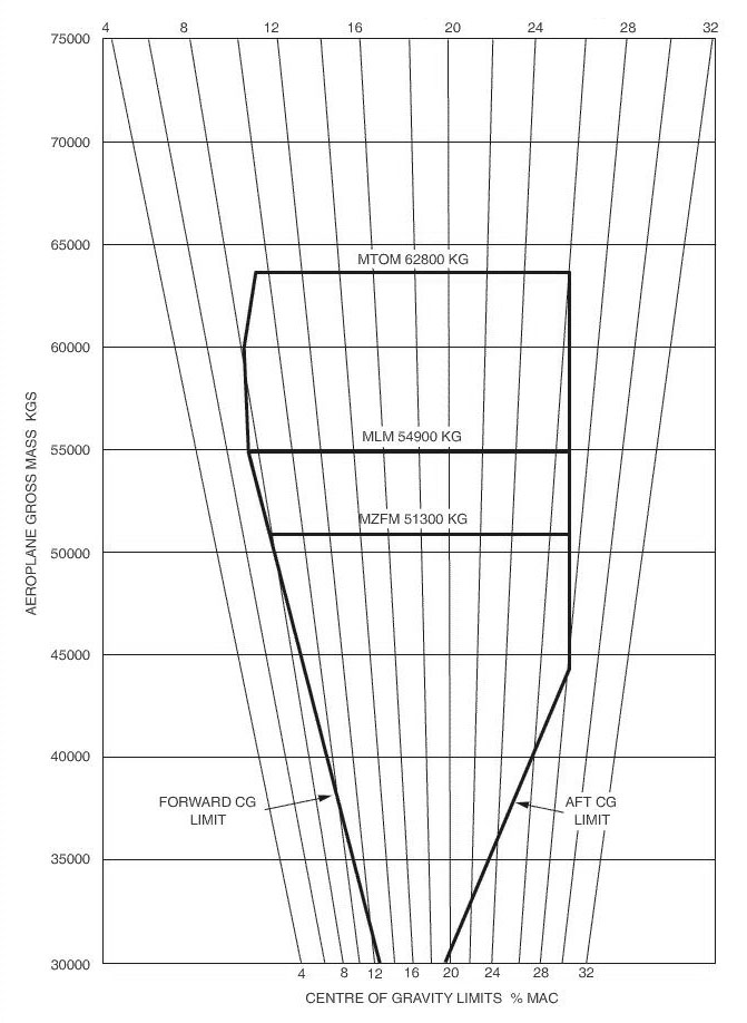 8800 ft.
 Use route manual chart e hi 2.an aircraft has to fly from odin 55°35'n ?
Question 88-7 : 024° 204° 052° 156°
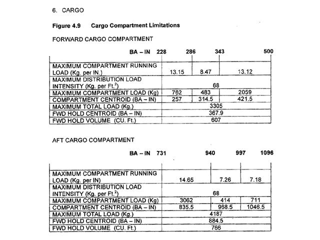 024°.
024°. Route manual chart e hi 4 caa edition.the radio navigation aid at st dizier ?
Question 88-8 : Tacan channel 87 frequency 114 0 mhz tacan channel 114 0 tacan channel 87 and ndb frequency 114 0 khz vor frequency 114 0 mhz and tacan channel 87
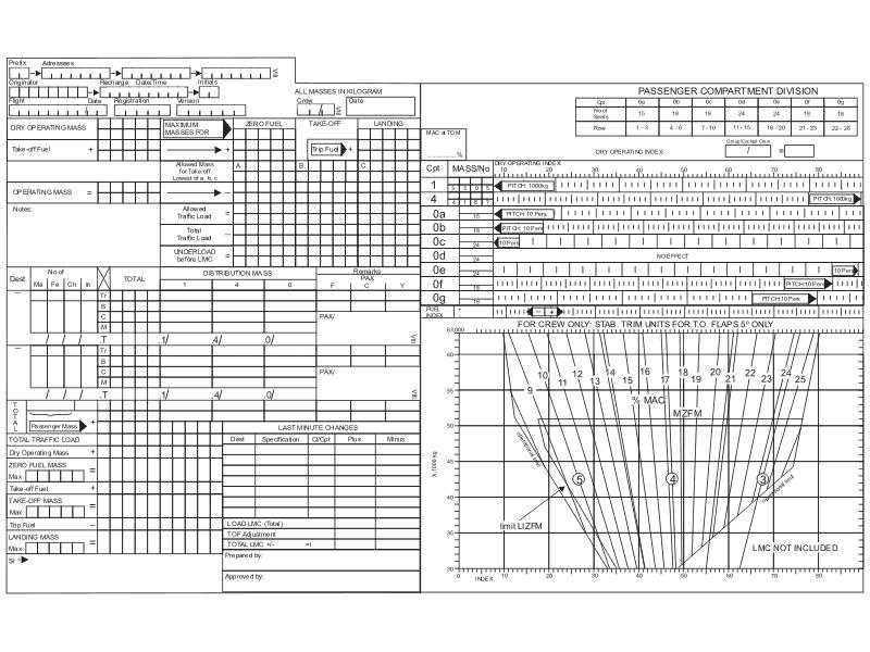 Tacan, channel 87, frequency 114.0 mhz
 Route manual chart e hi 4.an appropriate flight level for flight on airway ur1 ?
Question 88-9 : Fl250 fl220 fl260 fl240
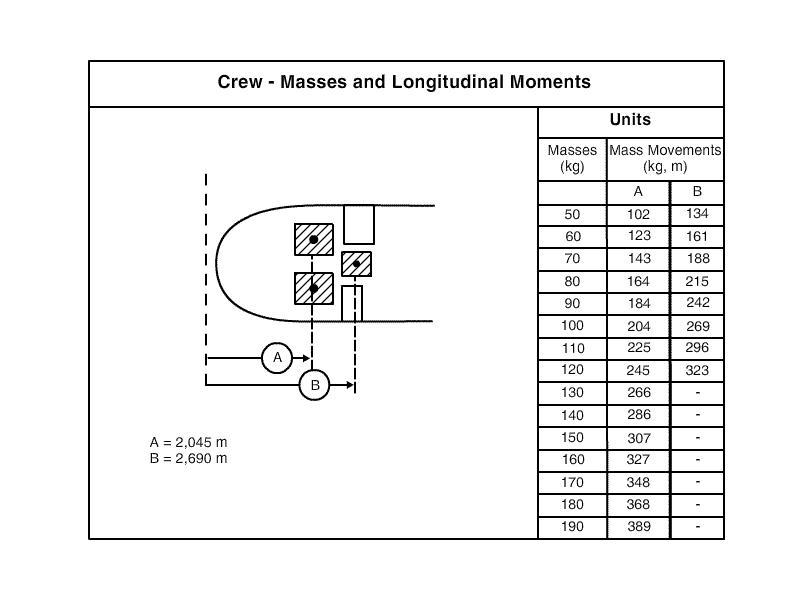 Fl250
Fl250 Use route manual chart e hi 4 caa edition .an aircraft has to fly from salzburg ?
Question 88-10 : The figure 13 4 means that the minimum grid safe altitude in this sector is 13400 ft above msl the figure 13 4 means that the minimum enroute altitude mea is 13400 ft the figure 13 4 means that the minimum sector altitude msa is 13400 ft the figure 108 means that the minimum obstacle clearance altitude moca on this route is 10800 ft above msl
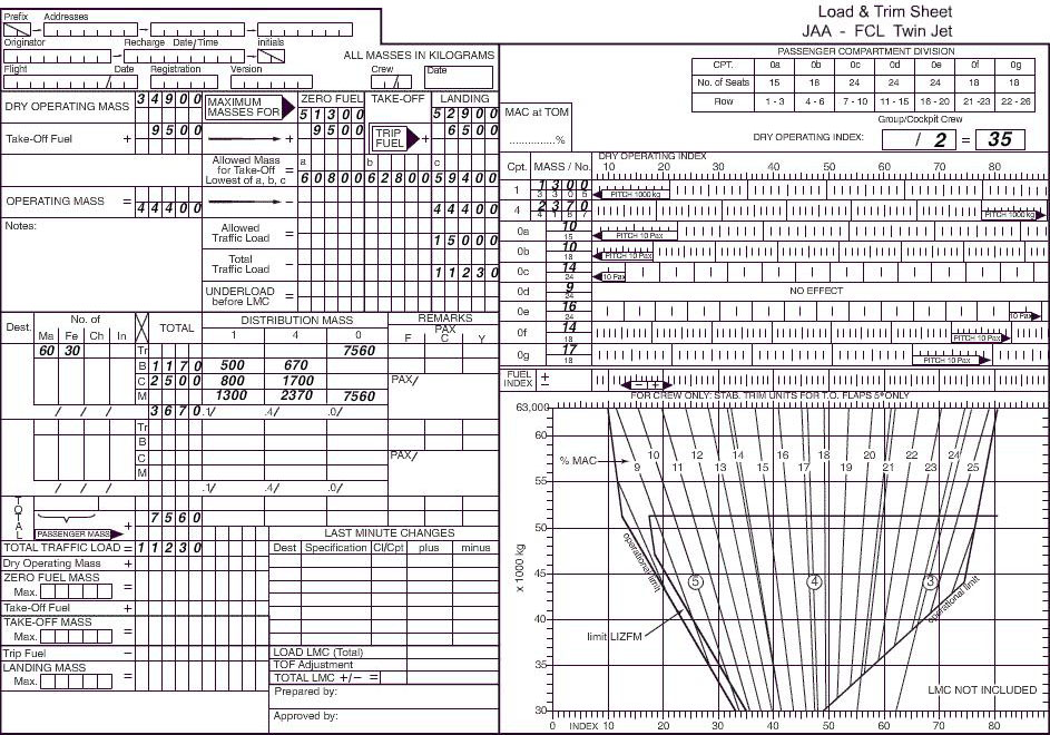 The figure 13.4 means that the minimum grid safe altitude in this sector is 13400 ft above msl.
 Route manual chart sid paris charles de gaulle 20 3 .planning a ifr flight from ?
Question 88-11 : 387 ft 268 ft 217 ft 2 ft
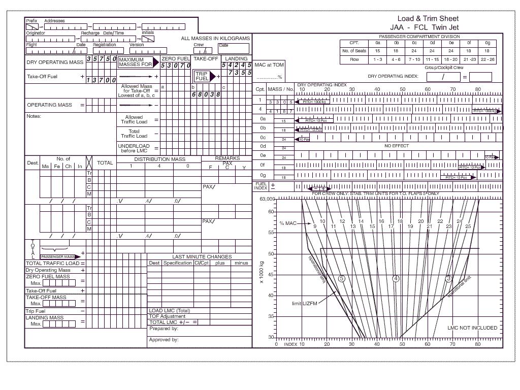 387 ft.
 Use route manual chart e lo 1 .what is the maximum authorised altitude maa on ?
Question 88-12 : Fl150 fl50 4700 ft 4200 ft
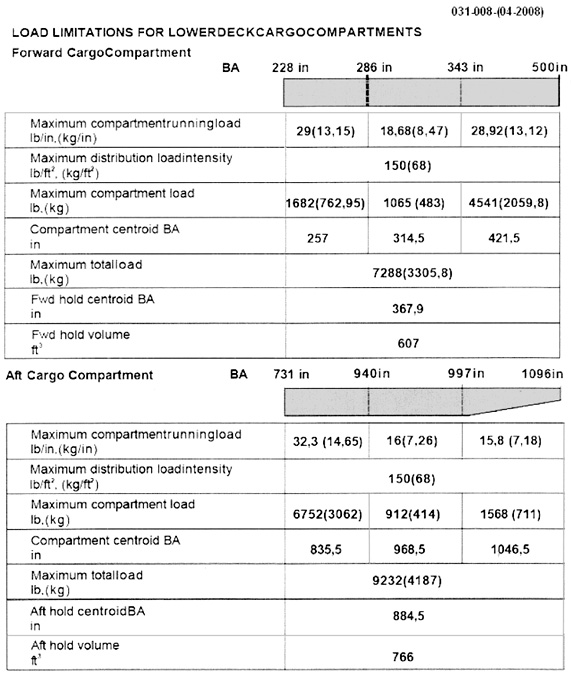 Fl150
Fl150 Route manual chart london heathrow ils dme rwy 09l 11 2 . the decision altitude ?
Question 88-13 : 280 ft 200 ft 400 ft 480 ft
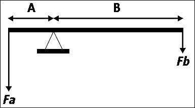 280 ft
 An airway is marked 3500t 2100 a this indicates that ?
Question 88-14 : The minimum obstruction clearance altitude moca is 3500 ft the minimum enroute altitude mea is 3500 ft the airway base is 3500 ft msl the airway is a low level link route 2100 ft 3500 ft msl
 The minimum obstruction clearance altitude (moca) is 3500 ft.
 Route manual star chart for london heathrow 10 2d .the minimum holding altitude ?
Question 88-15 : 7000 ft and 220 kt 9000 ft and 220 kt 7000 ft and 250 kt 9000 ft and 250 kt
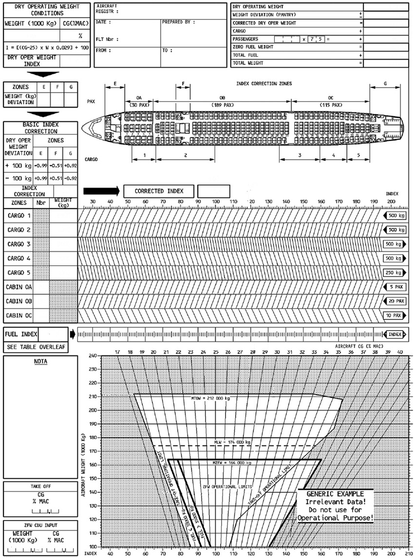 7000 ft and 220 kt.
 Route manual sid charts for zurich 10 3 .which is the correct albix departure ?
Question 88-16 : Albix 7s albix 7a albix 6h albix 6e
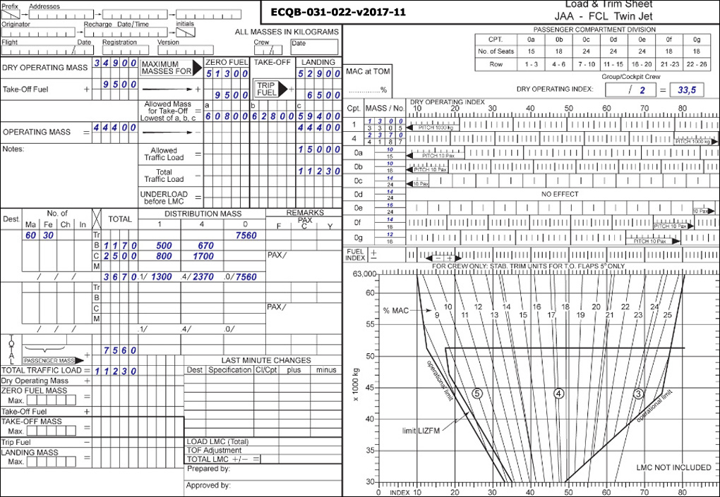 Albix 7s
 Route manual chart e hi 5 caa edition.the first lowest available flight level ?
Question 88-17 : Fl290 fl310 fl300 fl280
 Fl290.
 For this question use route manual chart e hi 1.what is the average magnetic ?
Question 88-18 : 260° 253° 247° 267°
 260°.
260°. Route manual star 10 2 and instrument approach chart 11 4 ils dme rwy 27r for ?
Question 88-19 : Big 115 1 mhz big 115 1 khz ock 115 3 mhz epm 316 khz
 Big 115.1 mhz.
 Use route manual chart e hi 2.an aircraft has to fly on airways from sveda ?
Question 88-20 : Svd uh40 paper ua9 bak ub44 ska svd ub45 lav ur156 ska ur1 hil uv30 btd uh42 ska svd uh40 paper ua9 bak ur156 ska
 Svd uh40 paper ua9 bak ub44 ska
 An airway is marked fl 80 1500 a this indicates that ?
Question 88-21 : The minimum enroute altitude mea is fl 80 the airway base is 1500 ft msl the airways extends from 1500 ft msl to fl 80 1500 ft msl is the minimum radio reception altitude mra
 The minimum enroute altitude (mea) is fl 80.
 Route manual chart e hi 4 caa edition.the radio navigation aid on airway ug4 at ?
Question 88-22 : Vor only identifier lul vor/dme only identifier lul vor/dme and ndb identifier lxi vor identifier lul frequency paired with tacan identifier lxi
 Vor only, identifier lul.
 Route manual chart e lo 1. the radio navigation aid at shannon 52°43'n ?
Question 88-23 : A vor/dme frequency 113 3 mhz a tacan frequency 113 3 khz a vor only frequency 113 3 mhz an ndb frequency 352 khz
 A vor/dme, frequency 113.3 mhz
 Use route manual chart e hi 2.an aircraft has to fly from the beacon tno ?
Question 88-24 : 018°/131 nm 029°/69 nm 013°/117 nm 007°/131 nm
 018°/131 nm.
 Use route manual chart e hi 1.an aircraft has to fly from the airport at ?
Question 88-25 : 54 min 47 min 28 min 16 min
 54 min.
 For this question use route manual chart e hi 2 .the identifier of the radio ?
Question 88-26 : Aor svd svd03 astor
 Aor.
Aor. Route manual chart e lo 1.the radio navigation aid at belfast city 54°37'n ?
Question 88-27 : An ndb frequency 420 khz not continuous operation an ndb frequency 420 khz continuous operation a tacan channel 420 a fan marker frequency 420 khz
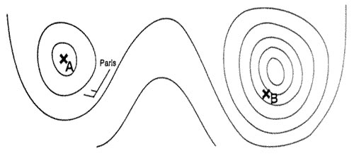 An ndb, frequency 420 khz, not continuous operation.
 Route manual chart e lo 2. the minimum enroute altitude mea that can be ?
Question 88-28 : Fl140 1000 ft msl fl60 2800 ft msl
 Fl140
Fl140 Route manual chart amsterdam schiphol ils dme rwy 22 11 6 .the missed approach ?
Question 88-29 : I 2000 ft ii 160° i 200 ft ii 223° i 3000 ft ii 160° i 3000 ft ii 223°
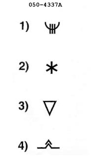 (i) 2000 ft (ii) 160°.
 Route manual chart e hi 4 caa edition.the magnetic course/distance from ?
Question 88-30 : 050°/47 nm 230°/97 nm 133°/85 nm 052°/97 nm
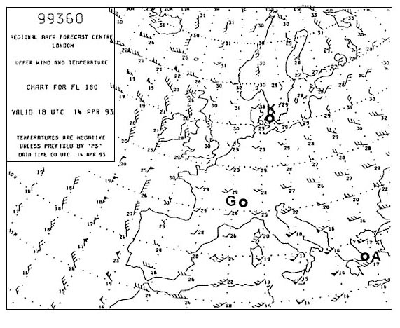 050°/47 nm.
 Route manual chart e lo 6. an appropriate flight level for flight on airway r10 ?
Question 88-31 : Fl60 fl40 fl70 fl50
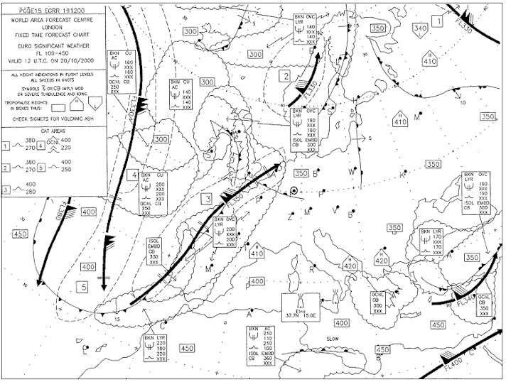 Fl60
Fl60 Route manual chart e lo 1.the radio navigation aid at topcliffe 54°12'n ?
Question 88-32 : Tacan only channel 84 frequency 113 7 mhz tacan channel 84 and a vor frequency 113 7 mhz only tacan channel 84 and an ndb frequency 92 khz only vortac frequency 113 7 mhz and an ndb frequency 92 khz
 Tacan only, channel 84, (frequency 113.7 mhz)
 Route manual chart e lo 1.the minimum enroute altitude that can be maintained ?
Question 88-33 : Fl110 2900 ft msl fl80 4100 ft msl
 Fl110.
 On an ifr navigation chart in a 1° quadrant of longitude and latitude appears ?
Question 88-34 : The minimum safe altitude is 8000 ft the minimum flight level is fl 80 the altitude of the highest obstacle is 8000 ft the floor of the airway is at 8000 ft
 The minimum safe altitude is 8000 ft.
 Route manual chart e hi 4 caa edition. planning a ifr flight from paris charles ?
Question 88-35 : 322° 330° 343° 142°
 322°.
322°. Route manual star charts for munich 10 2b .the correct arrival route and ?
Question 88-36 : Aalen 1t iaf rokil aalen 1t iaf mbg ndg 1t iaf rokil dkb 1t iaf rokil
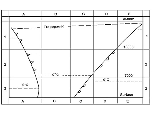 Aalen 1t, iaf rokil
 For this question use trm athinai hellinikon approach chart 29 1 .what is the ?
Question 88-37 : 19 nm 19 km 14 nm 16 nm
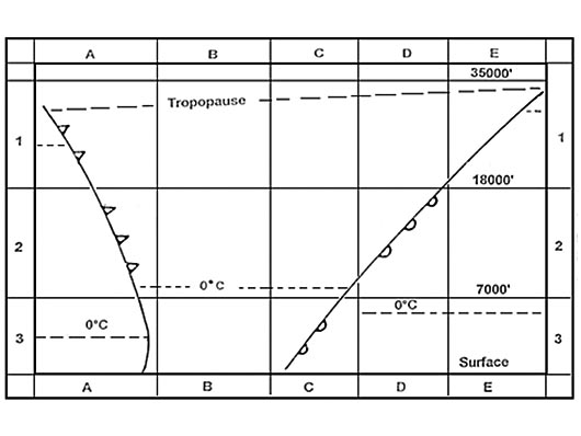 19 nm
19 nm Use route manual chart e lo 1 .an appropriate flight level for flight on airway ?
Question 88-38 : Fl90 fl80 fl100 fl50
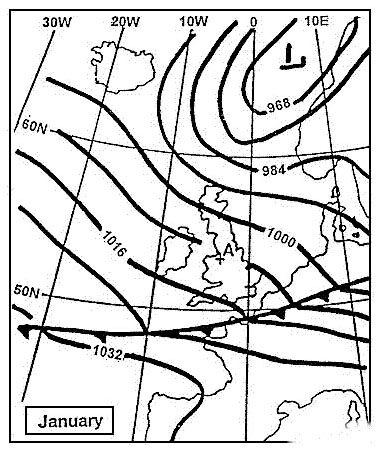 Fl90
Fl90 Use route manual chart e hi 1.the direct distance from tiree 117 7 tir ?
Question 88-39 : 112 nm 204 nm 192 nm 360 km
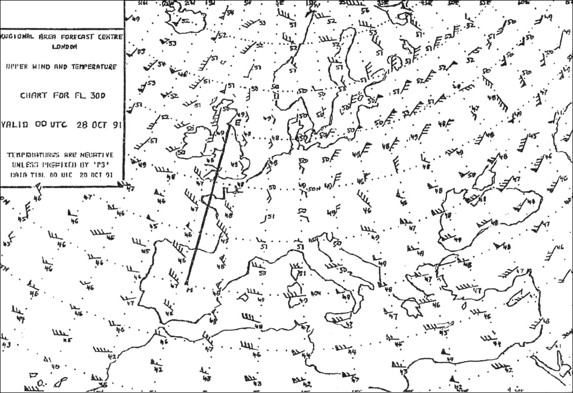 112 nm.
 Route manual chart e lo 5.the vor and tacan on airway g9 at osnabruck 52°12'n ?
Question 88-40 : Not frequency paired and have different identifiers frequency paired and have the same identifier not frequency paired and have the same identifier frequency paired and have different identifiers
 Not frequency paired, and have different identifiers.
 ~
Exclusive rights reserved. Reproduction prohibited under penalty of prosecution.
3479 Free Training Exam
