Route manual chart e lo 6.the magnetic course/distance from grostenquin gtq 111 ? [ Study Manual ]
Question 87-1 : 337°/46 nm 337°/58 nm 337°/31 nm 157°/58 nm
 337°/46 nm.
 Use route manual chart e hi 2. what is the meaning of the chart information for ?
Question 87-2 : Vordme with identification lav available on frequency 114 6 mhz dme only with identification lav available on frequency 114 6 mhz doppler vor only with identification lav available on frequency 114 6 mhz vordme and ndb with identification lav available on frequency 114 6 mhz
 Vordme with identification lav available on frequency 114.6 mhz.
 For this question use route manual chart e hi 2.the radio navigation aid at ?
Question 87-3 : Ndb frequency 355 khz ndb frequency 355 mhz vor frequency 355 khz vor frequency 355 mhz
 Ndb, frequency 355 khz.
 Use route manual chart e hi 1 .the initial true course from inverness 109 2 ins ?
Question 87-4 : 237° 244° 218° 230°
 237°.
237°. Route manual sid chart for munich 10 3c 10 3d . which is the correct departure ?
Question 87-5 : Kempten five sierra kempten three echo kempten three quebec kempten three november
 Kempten five sierra
 Route manual chart 5 at hi .on airway pts p from vigra 62°33'4n 006°02'e the ?
Question 87-6 : Is 344° is 350° is 353° is 347°
 Is 344°.
 Route manual chart e lo 5.the ndb at denko 52°49'n 015°50'e can be identified ?
Question 87-7 : Frequency 440 khz bfo on channel 440 bfo off frequency 440 khz bfo off channel 440 bfo on
 Frequency 440 khz, bfo on
 Route manual chart amsterdam jaa minimums 10 9x .the radio altimeter minimum ?
Question 87-8 : 100 ft 88 ft 300 ft 188 ft
 100 ft.
 On an instrument approach chart a minimum sector altitude 'msa' is defined in ?
Question 87-9 : 25 nm 20 nm 15 nm 10 nm
 25 nm
25 nm Route manual chart e lo 2. an appropriate flight level for flight on airway b3 ?
Question 87-10 : Fl170 fl50 fl80 fl60
 Fl170
Fl170 For this question use route manual chart e hi 2.the radio navigation aid s at ?
Question 87-11 : Vor frequency 116 9 mhz vordme frequency 116 9 mhz vor frequency 116 2 mhz vordme frequency 116 2 mhz
 Vor, frequency 116.9 mhz.
 An airway is marked 5000 2900a the notation 5000 is the ?
Question 87-12 : Minimum enroute altitude mea maximum authorised altitude maa minimum holding altitude mha base of the airway agl
 Minimum enroute altitude (mea)
 Route manual chart e hi 4 caa edition. the radio navigation aid at chioggia ?
Question 87-13 : Vor/dme frequency 114 1 mhz and ndb frequency 408 khz vor/dme only frequency 114 1 mhz vor frequency 114 1 mhz and tacan channel 408 vor frequency 114 1 mhz and tacan frequency 408 mhz
 Vor/dme, frequency 114.1 mhz, and ndb frequency 408 khz
 Route manual chart e lo 6.an appropriate flight level for flight on airway w37 ?
Question 87-14 : Fl80 fl40 fl50 fl70
 Fl80.
Fl80. Use route manual chart e hi 2 .an aircraft has to fly on airways from skara ?
Question 87-15 : Ska uh42 btd uv30 hil ur1 svd ska ub44 bak ua9 paper uh40 svd ska ur156 lav ub45 svd ska dct svd
Use route manual chart e lo 1.the radio navigation aid at leeds bradford ?
Question 87-16 : An ndb frequency 402 5 khz not continuous operation a tacan channel 402 5 a fan marker frequency 402 5 khz an ndb frequency 402 5 khz continuous operation
 An ndb, frequency 402.5 khz, not continuous operation.
 Use route manual chart e lo 1 .the magnetic course from dean cross 115 2 dcs ?
Question 87-17 : 077° 083° 257° 263°
 077°.
077°. Route manual sid chart for london heathrow 10 3 .which of the following is a ?
Question 87-18 : West sector 2100 ft within 25 nm west sector 2300 ft within 25 nm east sector 2100 ft within 50 nm east sector 2300 ft within 50 nm
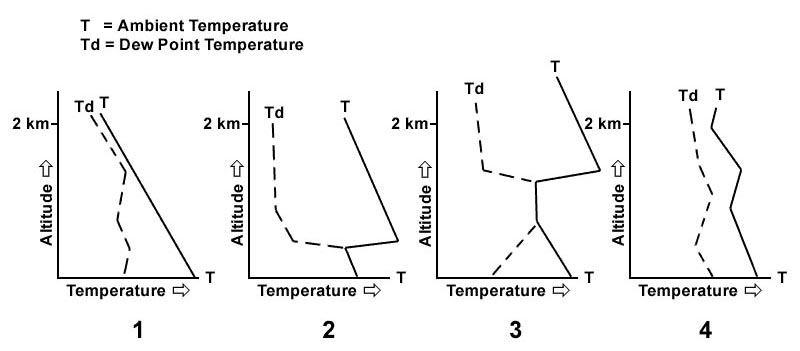 West sector 2100 ft within 25 nm.
 Route manual chart star london heathrow 10 2 .planning a ifr flight from paris ?
Question 87-19 : 80 ft 77 ft 177 ft 100 ft
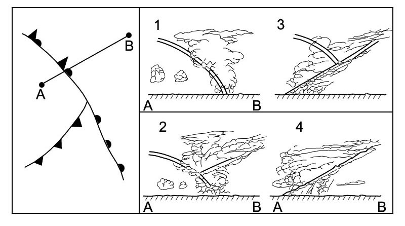 80 ft.
 Use route manual chart e hi 1.an aircraft has to fly from beacon ben 57°29'n ?
Question 87-20 : 093° 101° 281° 109°
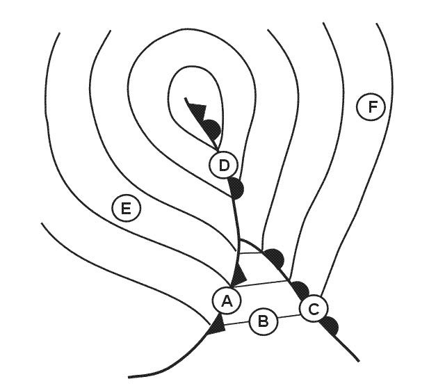 093°.
093°. Route manual chart e hi 4 caa edition. the radio navigation aid stad 51°45'n ?
Question 87-21 : An ndb frequency 386 khz a tacan on channel 386 a vor frequency 386 mhz a vor/dme on channel 386
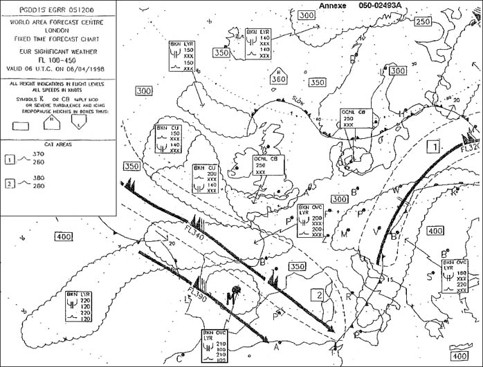 An ndb, frequency 386 khz
 Route manual sid chart for amsterdam schiphol 10 3b .the route distance from ?
Question 87-22 : 67 nm 35 nm 59 nm 52 nm
 67 nm.
 Route manual chart e hi 4 caa edition.the radio navigation aid at zurich ?
Question 87-23 : A vor only frequency 115 0 mhz a vor/dme frequency 115 0 mhz an ndb only frequency 115 0 khz a tacan frequency 115 0 mhz
 A vor only, frequency 115.0 mhz.
 Use route manual chart e hi 1.the initial true course from tiree 117 7 tir ?
Question 87-24 : 011° 192° 019° 003°
 011°.
011°. Route manual chart e hi 4 caa edition.the magnetic course/distance from ?
Question 87-25 : 346°/45 nm 166°/64 nm 346°/43 nm 346°/64 nm
 346°/45 nm.
 Route manual chart paris charles de gaulle ils rwy 10 21 8 . the ils localizer ?
Question 87-26 : 088° 100° 118° 268°
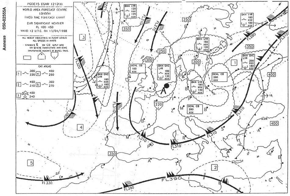 088°
088° Route manual chart 5 at hi .the initial great circle true course from keflavik ?
Question 87-27 : 106° 096° 066° 080°
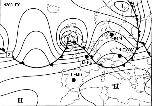 106°.
106°. Use route manual chart e hi 1.the initial magnetic course from tiree 117 7 tir ?
Question 87-28 : 019° 192° 011° 003°
 019°.
019°. Route manual chart e hi 4 caa edition. an aeroplane has to fly from salzburg ?
Question 87-29 : The airway ub5 can be used for flights to/from klagenfurt and salzburg the airway ub5 is closed in this direction except during the weekends the airway ub5 cannot be used there is one way traffic to the north the airway ub5 is closed for southbound traffic above fl 200
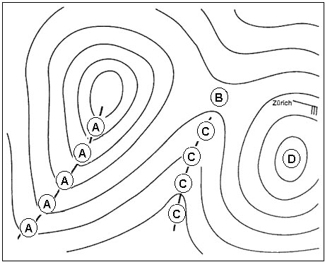 The airway ub5 can be used for flights to/from klagenfurt and salzburg.
 Route manual chart e hi 5 caa edition.of the following the preferred airways ?
Question 87-30 : Ub282 dgn ub46 ua6 lsa ug52 ub284 vilar ub28 ub28
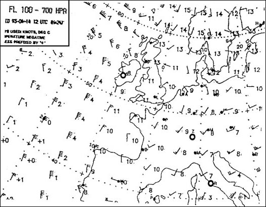 Ub282 dgn ub46
 Use route manual chart e lo 1.the magnetic course/distance from talla 113 8 tla ?
Question 87-31 : 185° / 47 nm 185° / 18 nm 005° / 47 nm 005° / 18 nm
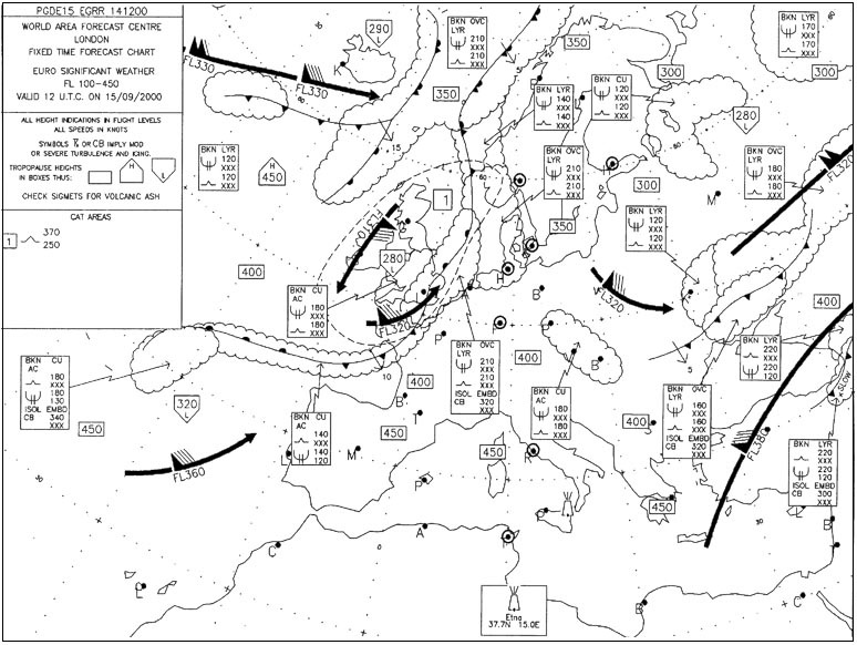 185° / 47 nm.
 Route manual chart e hi 5 caa edition. the magnetic course/distance from ?
Question 87-32 : 094°/ 90 nm 046°/ 70 nm 067°/ 122 nm 113°/ 142 nm
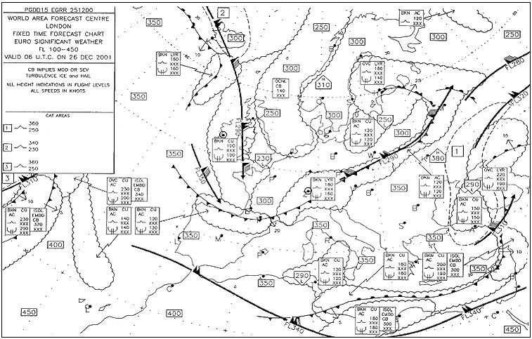 094°/ 90 nm
 Route manual chart e hi 4 caa edition.the minimum enroute altitude that can be ?
Question 87-33 : Fl290 fl250 fl330 fl245
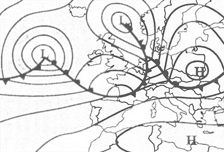 Fl290.
 Route manual chart e lo 5.the minimum enroute altitude that can be maintained ?
Question 87-34 : Fl100 fl60 1000ft 2500 ft
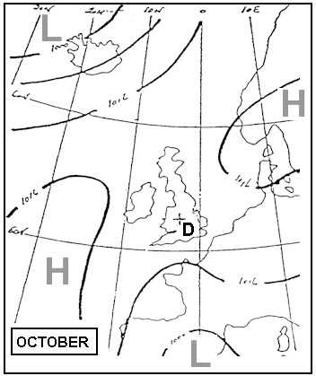 Fl100.
 For this question use trm athinai hellinikon approach chart 29 1 .what is the ?
Question 87-35 : 114 40 ath 357 kvr 275 hk 294 hn
 114.40 ath
 Route manual chart e lo 2.the magnetic course/distance from cambrai cmb 112 6 ?
Question 87-36 : 169°/42 nm 349°/42 nm 349°/26 nm 169°/68 nm
 169°/42 nm.
 Route manual chart e hi 4 caa edition.an aeroplane has to fly from abbeville ?
Question 87-37 : 100 nm 62 nm 64 nm 38 nm
 100 nm.
 Route manual chart e lo 5. the magnetic course/distance from elbe lbe 115 1 ?
Question 87-38 : 352°/72 nm 352°/96 nm 339°/80 nm 339°/125 nm
 352°/72 nm
 Route manual chart e hi 4 caa edition. the first lowest available flight level ?
Question 87-39 : Fl300 fl310 fl290 fl320
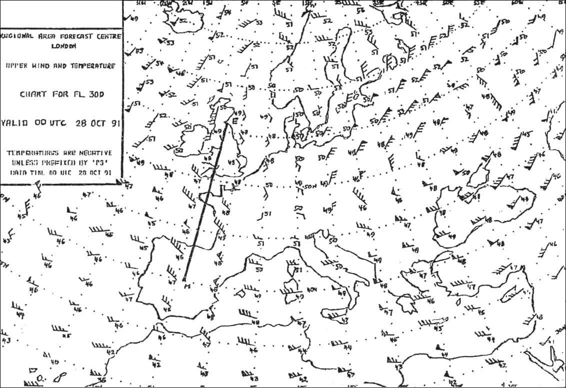 Fl300.
 Unless otherwise shown on charts for standard instrument departure the routes ?
Question 87-40 : Magnetic course magnetic headings true course true headings
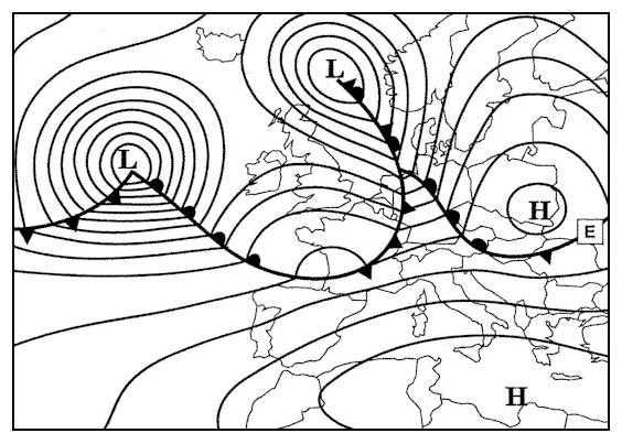 Magnetic course
 ~
Exclusive rights reserved. Reproduction prohibited under penalty of prosecution.
3439 Free Training Exam
