A jet aeroplane equipped with old engines has a specific fuel consumption of 0 ? [ Attainment AIM ]
Question 82-1 : 8 17 kg/nm 11 7 kg/nm 10 7 kg/nm 14 kg/nm
The determination of the maximum mass on brake release of a certified turbojet ?
Question 82-2 : 67700 kg / 15° 69000 kg / 15° 72200 kg / 5° 69700 kg / 25°
 67700 kg / 15°.
 During certification test flights for a turbojet aeroplane the actual measured ?
Question 82-3 : 2009 m 1950 m 2096 m 2243 m
For a twin engine turbojet aeroplane two take off flap settings 5° and 15° ?
Question 82-4 : 56 000 kg 53 000 kg 52 000 kg 70 000 kg
 56 000 kg.
 The lowest take off safety speed v2 min is ?
Question 82-5 : 1 13 vsr for two and three engine turbo propeller and turbojet aeroplanes 1 20 vsr for all aeroplanes 1 15 vsr for all turbojet and turbo propeller aeroplanes 1 20 vsr for all turbo propeller aeroplanes
 1.13 vsr for two and three engine turbo-propeller and turbojet aeroplanes.
 Which of the following three speeds of a jet aeroplane are basically identical ?
Question 82-6 : Holding maximum climb angle and minimum glide angle maximum drag maximum endurance and maximum climb angle maximum range minimum drag and minimum glide angle maximum climb angle minimum glide angle and maximum range
 Holding, maximum climb angle and minimum glide angle.
 The lift coefficient decreases during a glide with constant mach number mainly ?
Question 82-7 : Ias increases aircraft mass decreases tas decreases glide angle increases
 Ias increases.
 During a descent at constant mach number the margin to low speed buffet will ?
Question 82-8 : Increase because the lift coefficient decreases remain constant because the mach number remains constant increase because the lift coefficient increases decrease because the lift coefficient decreases
 Increase, because the lift coefficient decreases.
 A jet aeroplane is climbing at a constant ias and maximum climb thrust how will ?
Question 82-9 : Reduce / decrease reduce / remain constant remain constant / decrease remain constant / become larger
 Reduce / decrease.
 A jet aeroplane is flying long range cruise how does the specific range / fuel ?
Question 82-10 : Increase / decrease increase / increase decrease / increase decrease / decrease
 Increase / decrease.
 During a glide at constant mach number the pitch angle of the aeroplane will ?
Question 82-11 : Decrease increase increase at first and decrease later on remain constant
 Decrease.
 During a cruise flight of a jet aeroplane at constant flight level and at the ?
Question 82-12 : Decrease / decrease increase / decrease increase / increase decrease / increase
 Decrease / decrease.
 An aeroplane descends from fl 410 to fl 270 at its cruise mach number and from ?
Question 82-13 : I increases ii remains constant i increases ii decreases i remains constant ii decreases i decreases ii increases
 (i) increases (ii) remains constant.
 With a jet aeroplane the maximum climb angle can be flown at approximately ?
Question 82-14 : The maximum cl/cd ratio 1 1 vs the maximum cl/cd² ratio 1 2 vs
 The maximum cl/cd ratio.
 What happens to the drag of a jet aeroplane if during the initial climb after ?
Question 82-15 : The drag remains almost constant the drag increases considerably the drag decreases the drag increases initially and decreases thereafter
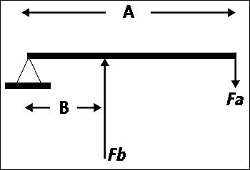 The drag remains almost constant.
 Which of the following sequences of speed for a jet aeroplane is correct . from ?
Question 82-16 : Vs maximum angle climb speed maximum range speed vs maximum range speed maximum angle climb speed maximum endurance speed maximum range speed maximum angle of climb speed maximum endurance speed long range speed maximum range speed
If a flight is performed with a higher 'cost index' at a given mass which of ?
Question 82-17 : A higher cruise mach number a lower cruise mach number an increased maximum range an increased long range performance
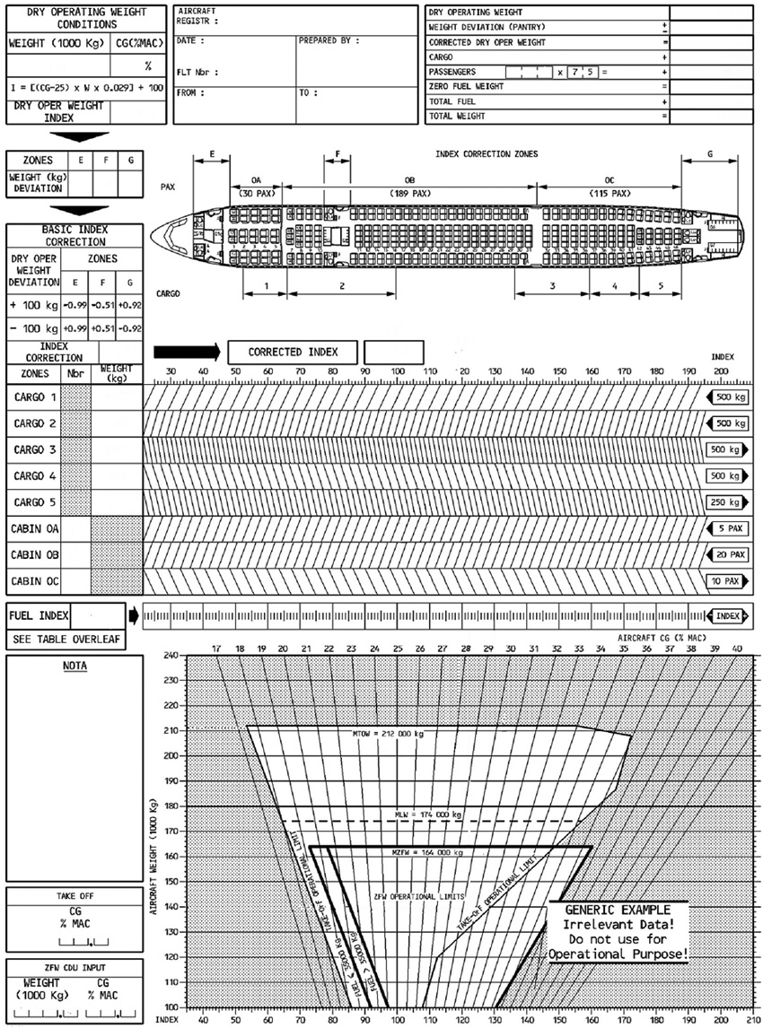 A higher cruise mach number.
 For a jet transport aeroplane which of the following is the reason for the use ?
Question 82-18 : Minimum specific fuel consumption minimum fuel flow longest flight duration minimum drag
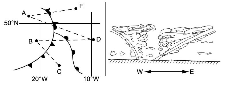 Minimum specific fuel consumption.
 What happens when an aeroplane climbs at a constant mach number ?
Question 82-19 : The lift coefficient increases the '1 3g' altitude is exceeded so mach buffet will start immediately the tas continues to increase which may lead to structural problems ias stays constant so there will be no problems
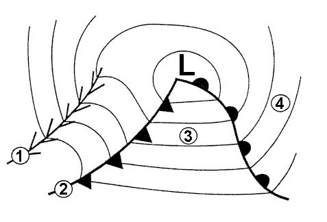 The lift coefficient increases.
 Which of the following is a reason to operate an aeroplane at 'long range speed' ?
Question 82-20 : It is efficient to fly slightly faster than with maximum range speed in order to achieve speed stability the aircraft can be operated close to the buffet onset speed in order to prevent loss of speed stability and tuck under
 It is efficient to fly slightly faster than with maximum range speed.
 If the value of the balanced v1 is found to be lower than vmcg which of the ?
Question 82-21 : V1 must be increased to at least the value of vmcg the one engine out take off distance will become greater than the asdr the vmcg will be lowered to v1 the asdr will become greater than the one engine out take off distance
 V1 must be increased to at least the value of vmcg.
 Reduced take off thrust should normally not be used when ?
Question 82-22 : Windshear is reported on the take off path it is dark the runway is dry the runway is wet
 Windshear is reported on the take-off path.
 Reduced take off thrust should normally not be used when ?
Question 82-23 : The runway is contaminated it is dark the runway is wet obstacles are present close to the end of the runway
 The runway is contaminated.
 The use of reduced take off thrust is permitted only if ?
Question 82-24 : The actual take off mass tom is lower than the field length limited tom the take off distance available is lower than the take off distance required one engine out at v1 the actual take off mass tom including a margin is greater than the performance limited tom the actual take off mass tom is greater than the climb limited tom
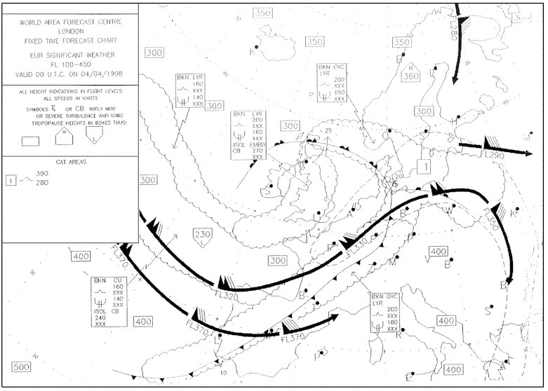 The actual take-off mass (tom) is lower than the field length limited tom.
 Which combination of circumstances or conditions would most likely lead to a ?
Question 82-25 : A high runway elevation and tail wind a low runway elevation and a cross wind a high runway elevation and a head wind a low runway elevation and a head wind
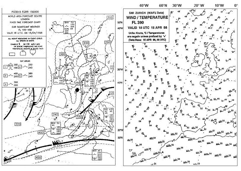 A high runway elevation and tail wind.
 The drift down requirements are based on ?
Question 82-26 : The obstacle clearance during a descent to the new cruising altitude if an engine has failed the actual engine thrust output at the altitude of engine failure the maximum flight path gradient during the descent the landing mass limit at the alternate
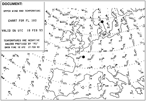 The obstacle clearance during a descent to the new cruising altitude if an engine has failed.
 Which of the following statements concerning the obstacle limited take off mass ?
Question 82-27 : It should be determined on the basis of a 35 ft obstacle clearance with the respect to the 'net take off flight path' it should not be corrected for 30° bank turns in the take off path it should be calculated in such a way that there is a margin of 50 ft with respect to the 'net take off flight path' it cannot be lower than the corresponding climb limited take off mass
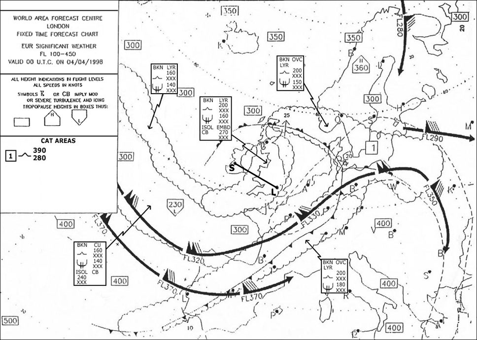 It should be determined on the basis of a 35 ft obstacle clearance with the respect to the 'net take-off flight path'.
 The 'maximum tyre speed' limits ?
Question 82-28 : Vlof in terms of ground speed v1 in kt tas vr or vmu if this is lower than vr v1 in kt ground speed
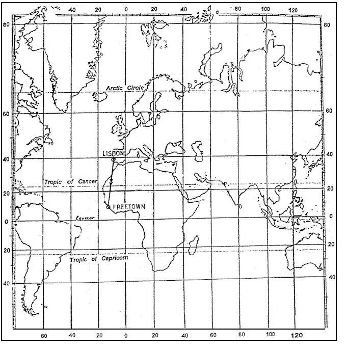 Vlof in terms of ground speed.
 Which of the following factors determines the maximum flight altitude in the ?
Question 82-29 : Aerodynamics theoretical ceiling service ceiling economy
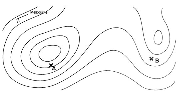 Aerodynamics.
 Which data can be extracted from the buffet onset boundary chart ?
Question 82-30 : The values of the mach number at which low speed and mach buffet occur at various masses and altitudes the value of maximum operating mach number mmo at various masses and power settings the value of the critical mach number at various masses and altitudes the value of the mach number at which low speed and shockstall occur at various masses and altitudes
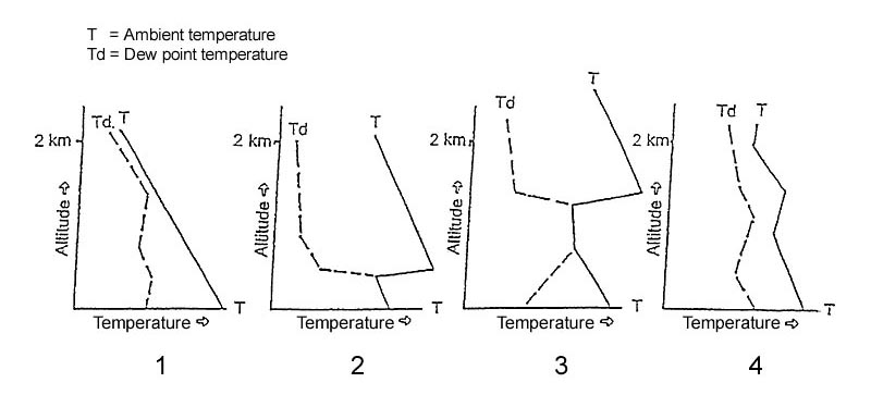 The values of the mach number at which low speed and mach buffet occur at various masses and altitudes.
 Why should the temperature of the wheel brakes be checked prior to take off ?
Question 82-31 : Because overheated brakes will not perform adequately in the event of a rejected take off to ensure that the brake wear is not excessive to ensure that the wheels have warmed up evenly to ensure that the thermal blow out plugs are not melted
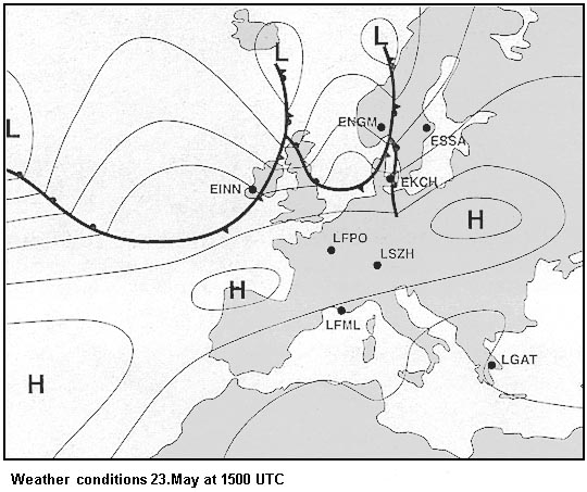 Because overheated brakes will not perform adequately in the event of a rejected take-off.
 A jet aeroplane is climbing with constant ias which operational speed limit is ?
Question 82-32 : The maximum operating mach number the stalling speed the minimum control speed air the mach limit for the mach trim system
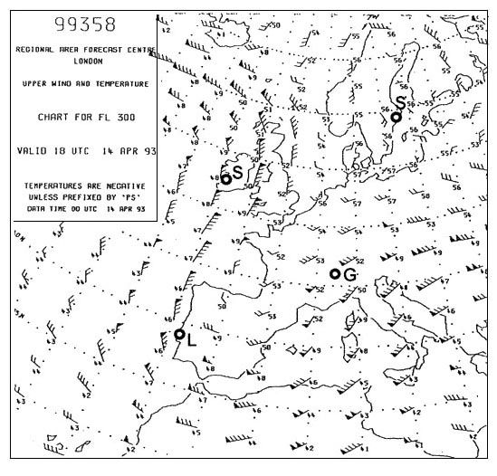 The maximum operating mach number.
 A jet aeroplane descends with constant mach number which speed limit will be ?
Question 82-33 : Maximum operating speed never exceed speed high speed buffet limit maximum operating mach number
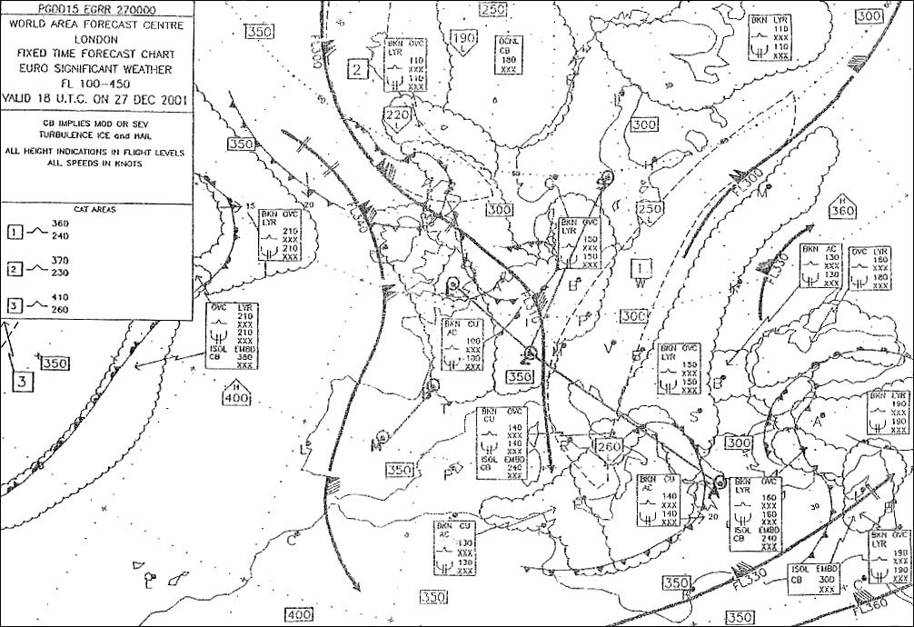 Maximum operating speed.
 Which of the following statements regarding the reduced thrust take off ?
Question 82-34 : Reduced thrust can be used when the actual take off mass is less than the performance limited take off mass the reduced thrust take off technique does not preserve engine life reduced thrust is used in order to save fuel the maximum reduction of thrust permitted for the mrjt using a reduced thrust take off is 20%
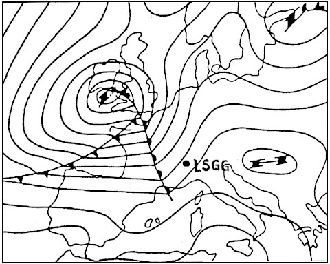 Reduced thrust can be used when the actual take-off mass is less than the performance limited take-off mass.
 Which statement in relation to the climb limited take off mass of a jet ?
Question 82-35 : The climb limited take off mass decreases with increasing oat the climb limited take off mass is determined at the speed for best rate of climb 50% of a head wind is taken into account when determining the climb limited take off mass on high elevation airports equipped with long runways the aeroplane will always be climb limited
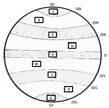 The climb limited take-off mass decreases with increasing oat.
 What is the advantage of a balanced field length condition ?
Question 82-36 : A balanced field length gives the minimum required field length in the event of an engine failure a balanced take off provides the lowest elevator input force requirement for rotation for a balanced field length the required take off runway length always equals the available runway length a balanced field length provides the greatest margin between 'net' and 'gross' take off flight paths
 A balanced field length gives the minimum required field length in the event of an engine failure.
 At reference or see performance manual mrjt 1 figure 4 24 .with regard to the ?
Question 82-37 : The equivalent gross mass at engine failure is the actual gross mass corrected for oat higher than isa +10°c the increment represents fuel used before engine failure this gross mass accounts for the lower mach number at higher temperatures the increment accounts for the higher fuel flow at higher temperatures
 The equivalent gross mass at engine failure is the actual gross mass corrected for oat higher than isa +10°c.
 The effects of an increased ambient air temperature beyond the flat rating cut ?
Question 82-38 : I decrease ii decrease i increase ii increase i decrease ii increase i increase ii decrease
 (i) decrease (ii) decrease.
 The tangent from the origin to the power required against true airspeed curve ?
Question 82-39 : Maximum endurance minimum power maximum specific range critical angle of attack
 Maximum endurance.
 In the drag versus tas curve for a jet aeroplane the speed for maximum range ?
Question 82-40 : The point of contact of the tangent from the origin to the drag curve the point of contact of the tangent from the origin to the parasite drag curve the point of contact of the tangent from the origin to the induced drag curve the point of intersection of the parasite drag curve and the induced drag curve
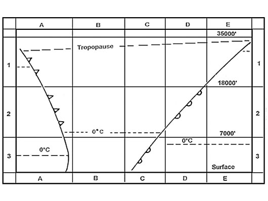 The point of contact of the tangent from the origin to the drag curve.
 ~
Exclusive rights reserved. Reproduction prohibited under penalty of prosecution.
3239 Free Training Exam
