Course > landing : In the flight management computer fmc of the flight management system fms data ?
Question 58-1 : Performance database air data computer navigation database auto flight computers
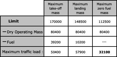 performance database.
 In the flight management computer fmc of the flight management system fms data ?
Question 58-2 : Performance database air data computer navigation database auto flight computer
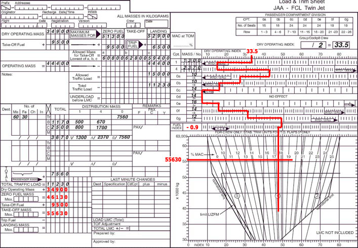 performance database.
 In the flight management computer fmc of the flight management system fms data ?
Question 58-3 : Navigation database air data database performance database auto flight database
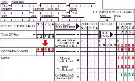 navigation database.
 In the flight management computer fmc of the flight management system fms data ?
Question 58-4 : Navigation database air data computer performance database auto flight computers
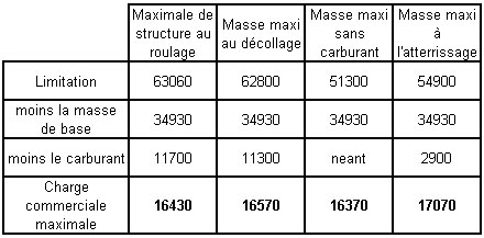 navigation database.
 Under which of the following circumstances does a vor/dme area navigation ?
Question 58-5 : The system is receiving information from only one vor the system is receiving information from one vor and one dme the system is receiving information from one vor and two dmes the system is receiving information from the two dmes
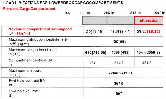 the system is receiving information from only one vor.
 In the flight management computer fmc of the flight management system fms data ?
Question 58-6 : Performance database air data computer navigation database auto flight computers
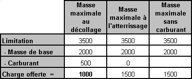 performance database.
 Which facility associated with the ils may be identified by a two letter ?
Question 58-7 : Locator inner marker outer marker glide path
Under which of the following circumstances does a vor/dme area navigation ?
Question 58-8 : Vor/dme area navigation computer is receiving neither radial nor distance data information from vor/dme stations vor/dme area navigation computer is not receiving information from the air data computer vor/dme area navigation computer is not receiving information from the aircraft compass system when 'dr' is selected by the pilot
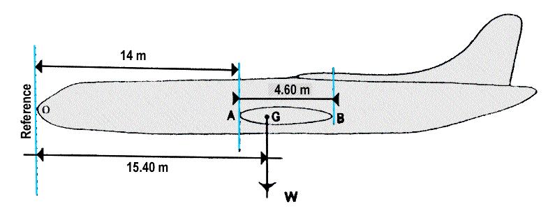 vor/dme area navigation computer is receiving neither radial nor distance data information from vor/dme stations.
 How does a vor/dme area navigation system selects the dme stations to be used ?
Question 58-9 : The vor/dme area navigation system has its own nav tuner and the system itself tunes the dme stations providing the most accurate position the pilot tunes the closest vor/dme stations within range on the vor/dme area navigation control panel the vor/dme area navigation system uses whatever stations are tuned on the aircraft's normal vhf nav selector the vor/dme area navigation system has its own vhf nav tuner and it always tunes the dme stations closest to the aircraft position
Apart from radials and distances from vor/dme stations what information is ?
Question 58-10 : Heading from the aircraft compass system and true airspeed from the air data computer true airspeed from the air data computer heading from the aircraft compass system vertical speed from the air data computer
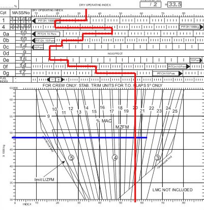 heading from the aircraft compass system and true airspeed from the air data computer.
 The flight management system fms is organized in such a way that ?
Question 58-11 : The navigation database is read only to the pilot the pilot is able to modify the navigation database in the fmc between two updates the navigation database of the fmc is valid for one year the navigation database of the fmc is created by the pilot
 the navigation database is read only to the pilot.
 Precision rnav p rnav requires a track keeping accuracy of ?
Question 58-12 : +/ 1 0nm for 95% of the flight time +/ 10 0nm for 95% of the flight time +/ 5 0nm for 95% of the flight time +/ 8 0nm for 95% of the flight time
 +/- 1.0nm for 95% of the flight time.
 On what data is a vor/dme area navigation system operating in the dead ?
Question 58-13 : Tas from the air data computer heading from the aircraft compass the last computed w/v tas from the air data computer heading from the aircraft compass radial from one vor distances from two dmes radial from one vor distances from two dmes tas from the air data computer heading from the aircraft compass
 tas from the air data computer; heading from the aircraft compass; the last computed w/v.
 In the flight management computer fmc of the flight management system fms data ?
Question 58-14 : Navigation database air data computer performance database auto flight computers
 navigation database.
 A fms with only a multiple dme sensor operating shall have a position error 95% ?
Question 58-15 : 0 3 nm 0 06 nm 1 nm 0 5 nm
 0.3 nm.
 What is the cross track deviation xtk indicated on an rnav system area ?
Question 58-16 : The distance between the actual position and the great circle track between two active waypoints the distance along a track between two waypoints the distance between the air position and the great circle track between two active waypoints the distance between the air position and the planned track
 the distance between the actual position and the great circle track between two active waypoints.
 In what piece of fms equipment will the pilot enter the waypoint information ?
Question 58-17 : The control display unit cdu the symbol generator the navigation display nd the primary flight display pfd
 the control display unit (cdu).
 3d rnav fixing gives you ?
Question 58-18 : Horizontal and vertical profile guidance horizontal vertical profile and time guidance 2d rnav plus time guidance 2d rnav plus speed control
 horizontal and vertical profile guidance.
 Which of the following are stored in the navigation database of the flight ?
Question 58-19 : 1 2 4 1 2 3 4 2 4 5 1 2 3
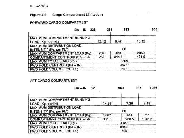 1, 2, 4.
 From which of the following combination of navigational sources provide enough ?
Question 58-20 : Irs and air data computer irs and gps gps and compass output compass system and irs
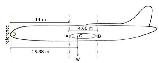 irs and air data computer.
 The flight management system fms is organized in such a way that the pilot can ?
Question 58-21 : Insert additional temporary navigation data between two database updates modify the data in the database between two updates modify the database every 14 days read and write at any time in the database
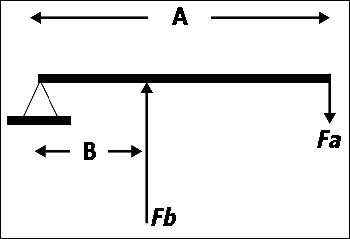 insert additional temporary navigation data between two database updates.
 A pilot is flying between two waypoints defined by suitably located vor/dmes ?
Question 58-22 : Reads cross track error and the distance to go on cdi or hsi must update any altitude change in rnav system to have correct cross track error reads vor/dme bearing and distance on cdi or hsi to compute himself the cross track error enters relative position between his aircraft and the vor/dmes on cdu to calculate the cross track error
The control and display unit cdu on an fms is ?
Question 58-23 : Used by the crew to input data into fmc the system used to update the navigation database the autopilot control panel used on ground only to monitor the maintenance procedure
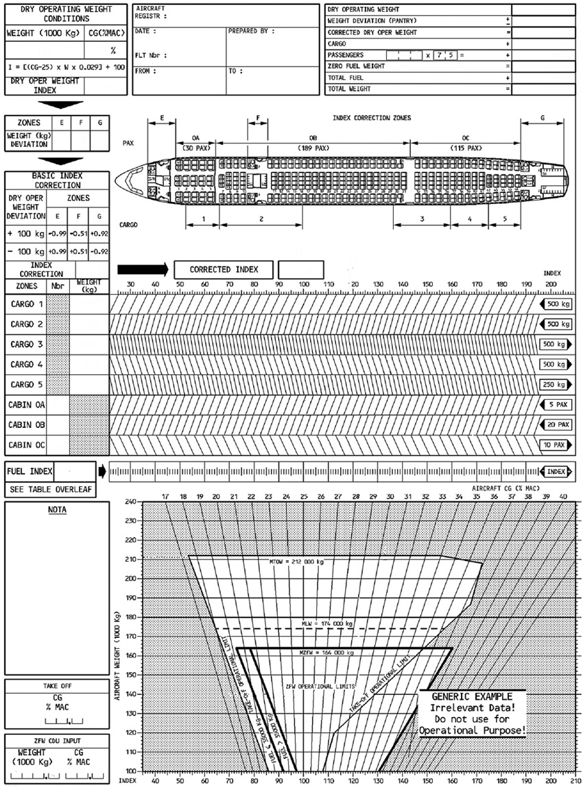 used by the crew to input data into fmc.
 A 2 dimensional rnav system has a capability in the ?
Question 58-24 : Horizontal plane vertical plane timing function horizontal and vertical planes
 horizontal plane.
 A fix obtained by rho rho navigation is based on information from two ?
Question 58-25 : Dmes vors ndbs vdfs
 dmes.
dmes. The fms navigation data base usually contains .1 airport reference data .2 atc ?
Question 58-26 : 1 3 and 4 1 2 and 3 1 and 3 1 2 3 and 4
 1, 3 and 4.
 The inputs of information used to achieve the rnav required accuracy may be.1 ?
Question 58-27 : 2 3 4 1 2 3 1 2 3 4 2 4
 2, 3, 4.
 Benefits of area navigation include .1 shorter flight distance.2 reduction in ?
Question 58-28 : 1 2 and 4 1 2 4 and 5 2 4 and 5 3 4 and 5
 1, 2 and 4.
 A phantom station as used in a 2d rnav system is ?
Question 58-29 : A waypoint defined by a radial and a dme distance from a vor/dme station a non existing vor/dme station defined by two dme distances an existing vor/dme station created in the memory of the navigation computer unit of the rnav system a waypoint defined by two dme distances from two different vor/dme stations
 a waypoint defined by a radial and a dme-distance from a vor/dme-station.
 Which of the following nav aids will provide an rnav system with position ?
Question 58-30 : Vor/dme adf vdf ndb
 vor/dme.
 On a modern commercial aircraft the fms provides ?
Question 58-31 : Lateral and vertical navigation and guidance and performance management an air/ground datalink a 3d area navigation and an air/ground datalink traffic alert information
 lateral and vertical navigation, and guidance and performance management.
 The addition of dme p to mls is necessary to ?
Question 58-32 : Obtain three dimensional positions assure a constant angular velocity of the azimuth and elevation sweep support the time referenced scanning beam allow linear approaches
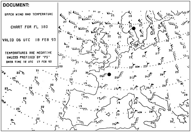 obtain three dimensional positions.
 The position of a waypoint can be inserted into the computer of a 4d rnav ?
Question 58-33 : 1 3 1 2 3 4 2 4
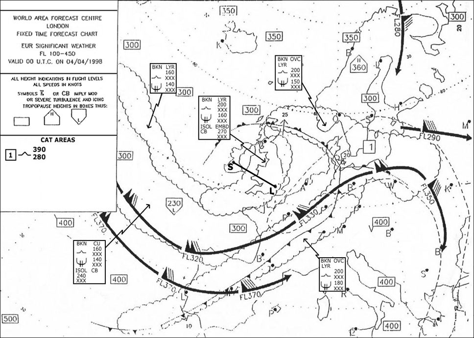 1, 3.
1, 3. The purpose of the fligh management system fms is to provide ?
Question 58-34 : Continuous automatic navigation guidance and performance management manual navigation guidance and automatic performance management both manual navigation guidance and performance management continuous automatic navigation guidance as well as manual performance management
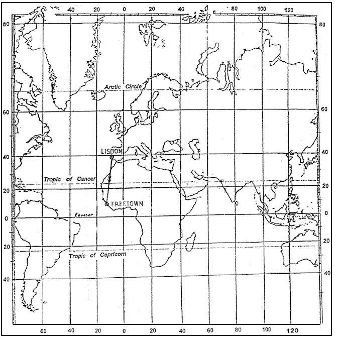 continuous automatic navigation guidance and performance management.
 Which of the following statements regarding b rnav is correct ?
Question 58-35 : For 95% of the flight time the track keeping accuracy must not exceed 5 nm in case of b rnav rnp1 is required b rnav is only applicable when flying in tma's b rnav can be used up to fl95 above fl95 p rnav is required
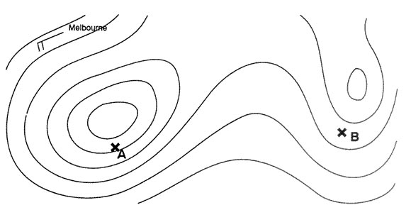 for 95% of the flight time, the track keeping accuracy must not exceed 5 nm.
 Which statement about rnav routes is correct ?
Question 58-36 : A method of navigation which permits aircraft operation on any desired flight path in general rnav routes coincide with standard routes in order to make optimum use of the available vor/dme stations rnav routes are only used in terminal areas in order to make more efficient use of the approach and landing facilities of an airport all waypoints of rnav routes are called phantom stations
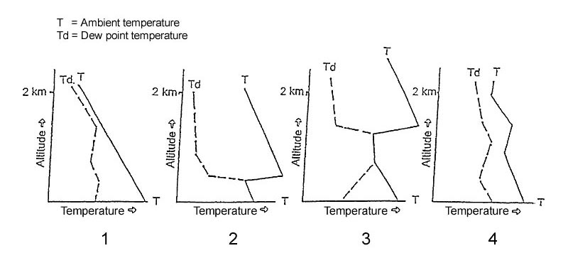 a method of navigation which permits aircraft operation on any desired flight path.
 The irs is a self contained system because ?
Question 58-37 : It operates independently of navigational aids outside the aircraft it operates off its own power supply the system generates a warning in case of a failure the calculation of the position does not require any software
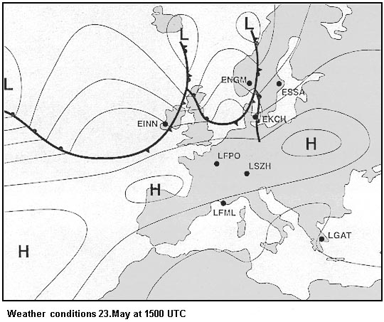 it operates independently of navigational aids outside the aircraft.
 On modern aircraft the navigation database usually contains ?
Question 58-38 : Airport reference data obstacle altitudes aircraft performance data atc frequencies
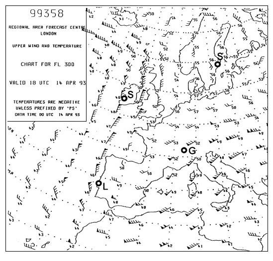 airport reference data.
 Which of the following data can be found in the navigation database.1 sids and ?
Question 58-39 : 1 2 4 2 3 4 2 3 5 1 2 3 4 5
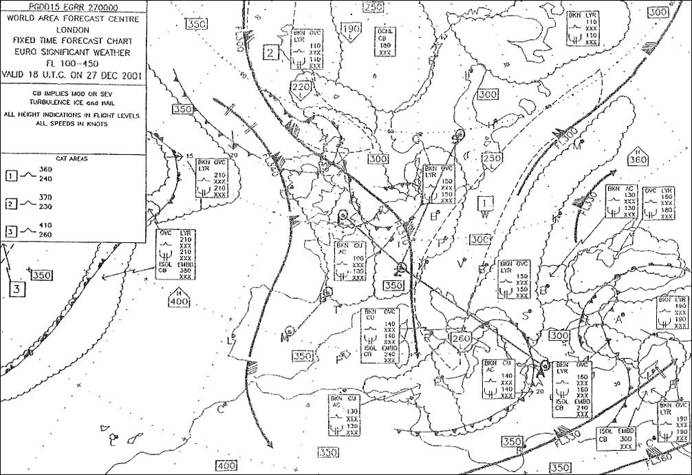 1, 2, 4.
 Concerning fmc databases ?
Question 58-40 : The navigation database may be customized for the specific airline operations only the navigation database may be customized by the company's cost index strategy only the performance database may be customized by the company company database and fmc databases can not be used at the same time
 the navigation database may be customized for the specific airline operations.
 ~
Exclusive rights reserved. Reproduction prohibited under penalty of prosecution.
2279 Free Training Exam
