What angle of bank should you adopt on the attitude indicator for a standard ? [ Program pilot ]
Question 50-1 : 18° 36° 12° 30°
 18°.
18°. The term drift refers to the wander of the axis of a gyro in ?
Question 50-2 : Horizontal plane any plane vertical plane vertical and horizontal plane
 Horizontal plane.
 What causes a freely suspended space gyroscope to precess ?
Question 50-3 : The gyro will precess when a force is applied to the spinning rim of the gyroscope in the same direction as the axis of rotation a turning force applied around the axis of rotation there is a tendency to precess when force is applied at 90 degrees to the axis of rotation a turning force applied against the axis of rotation
 The gyro will precess when a force is applied to the spinning rim of the gyroscope in the same direction as the axis of rotation.
 While inertial platform system is operating on board an aircraft it is ?
Question 50-4 : With damping and a period of about 84 minutes without damping and a period of about 84 minutes without damping and a period of about 84 seconds with damping and a period of 84 seconds
 With damping and a period of about 84 minutes.
 In order to align an irs it is required to insert the local geographical ?
Question 50-5 : 1 3 1 2 2 3 1 2 3
 1, 3.
1, 3. Compared with a conventional gyro a laser gyro ?
Question 50-6 : Has a longer life cycle consumes a lot of power is influenced by temperature has a fairly long starting cycle
 Has a longer life cycle.
 The mode selector of an inertial unit comprises the off stby align nav att ?
Question 50-7 : 4 2 5 1 3 5 1 2 4
 4.
4. The principle of a laser gyro is based on ?
Question 50-8 : Frequency difference between two laser beams rotating in opposite direction a gyroscope associated with a laser compensating for apparent wander due to the rotation of the earth a gyroscope associated with a laser compensating for gimballing errors two rotating cavities provided with mirrors
 Frequency difference between two laser beams rotating in opposite direction.
 As a result of the failure of the adc the inertial navigation system ins will ?
Question 50-9 : Wind direction and speed time at the next waypoint wpt ground speed drift
In order to align an inertial reference system irs it is required to insert ?
Question 50-10 : Compare the latitude it finds with that entered by the operator compare the longitude it finds with that entered by the operator find true north initialise the fms flight plan
 Compare the latitude it finds with that entered by the operator.
 Compared with a conventional gyro a laser gyro ?
Question 50-11 : Is much more cumbersome is influenced by temperature consumes much more power consumes a lot of power
The operating principle of an inertial system consists in ?
Question 50-12 : Measuring the acceleration of the aircraft and performing integrations to elaborate the ground speed and the position measuring the acceleration speed and position of the aircraft measuring the position of the aircraft and performing integrations to elaborate the ground speed and acceleration measuring the earth rotation and performing integrations to elaborate the aircraft ground speed and position
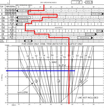 Measuring the acceleration of the aircraft and performing integrations to elaborate the ground speed and the position.
 Compared with a stabilised platform inertial system a strapdown inertial system ?
Question 50-13 : 2 3 1 2 3 1 2 3
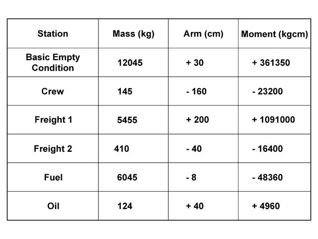 2, 3.
2, 3. In an inertial navigation system to know the distance travelled ?
Question 50-14 : Integrating once the speed in time is sufficient it is necessary to integrate once the speed in time and to know the initial speed only it is necessary to integrate once the speed in time and to know the initial position only it is necessary to integrate once the speed in time and to know the initial speed and the initial position
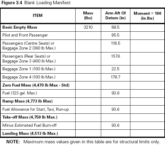 Integrating once the speed in time is sufficient.
 To obtain the instantaneous speed from the accelerations ?
Question 50-15 : It is necessary to integrate the acceleration once in time and to know the initial speed only it is necessary to integrate the acceleration once in time and to know the initial position only it is necessary to integrate the acceleration once in time and to know the initial speed and the initial position integrating the acceleration once in time is sufficient
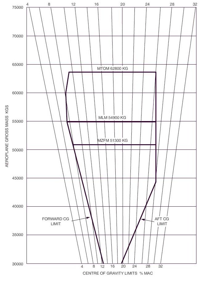 It is necessary to integrate the acceleration once in time, and to know the initial speed only.
 To obtain the instantaneous position from the accelerations ?
Question 50-16 : It is necessary to integrate twice the acceleration in time and to know the initial position and the initial speed it is necessary to integrate twice the acceleration in time and to know the initial position only it is necessary to integrate twice the acceleration in time and to know the initial speed only integrating twice acceleration in time is sufficient
 It is necessary to integrate twice the acceleration in time, and to know the initial position and the initial speed.
 In a inertial navigation system the integration process makes a ?
Question 50-17 : Time multiplication time division distance multiplication distance division
 Time multiplication.
 If the acceleration of an aircraft is zero its velocity ?
Question 50-18 : Is constant will decrease is always zero will increase
 Is constant.
 The time for a normal alignment not a quick alignment of a strapdown inertial ?
Question 50-19 : 3 to 10 minutes 1 to 2 minutes less than 1 minute 15 to 20 minutes
 3 to 10 minutes.
 The position error of a stand alone inertial system is approximately ?
Question 50-20 : 0 5 to 2 nm per hour 0 01 to 0 2 nm per hour 6 to 8 nm per hour 8 to 10 nm per hour
 0.5 to 2 nm per hour.
 The output data of an irs include .1 attitude.2 altitude.3 present position ?
Question 50-21 : 1 3 1 2 3 1 3 4 1 2 3 4
 1, 3.
1, 3. The alignment sequence of an irs consists of .1 searching for the local ?
Question 50-22 : 1 2 et 4 2 et 3 1 2 et 3 1 et 3
 1, 2 et 4.
 The output data of an irs include .1 present position lat long .2 total ?
Question 50-23 : 1 4 1 3 1 2 4 2 3
 1, 4.
1, 4. The output data of an irs include .1 satellites status.2 altitude.3 drift ?
Question 50-24 : 3 4 1 3 4 4 2 4
The output data of an irs include .1 angle of attack.2 altitude.3 ground ?
Question 50-25 : 3 1 3 1 2 2
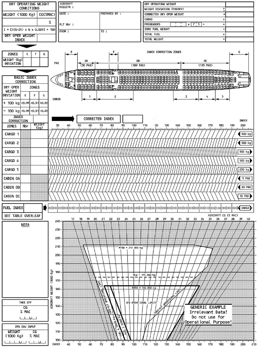 3.
3. The output data of an irs include .1 number of satellites tracked.2 mach ?
Question 50-26 : 3 4 1 4 2 3 1 2 3 4
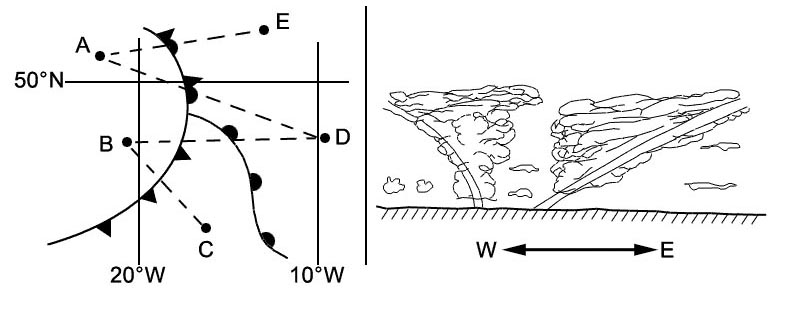 3, 4.
3, 4. To obtain the instantaneous position from the accelerations it is necessary to ?
Question 50-27 : 1 2 3 1 1 2 1 3
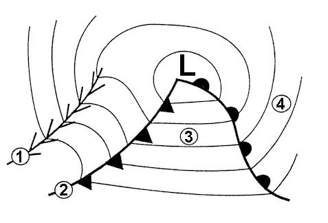 1, 2, 3.
 To obtain the instantaneous speed from the accelerations it is necessary to .1 ?
Question 50-28 : 1 3 1 1 2 1 2 3
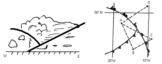 1, 3.
1, 3. In an inertial navigation system the principle used to obtain position is .1 ?
Question 50-29 : 2 or 3 1 3 1 or 4
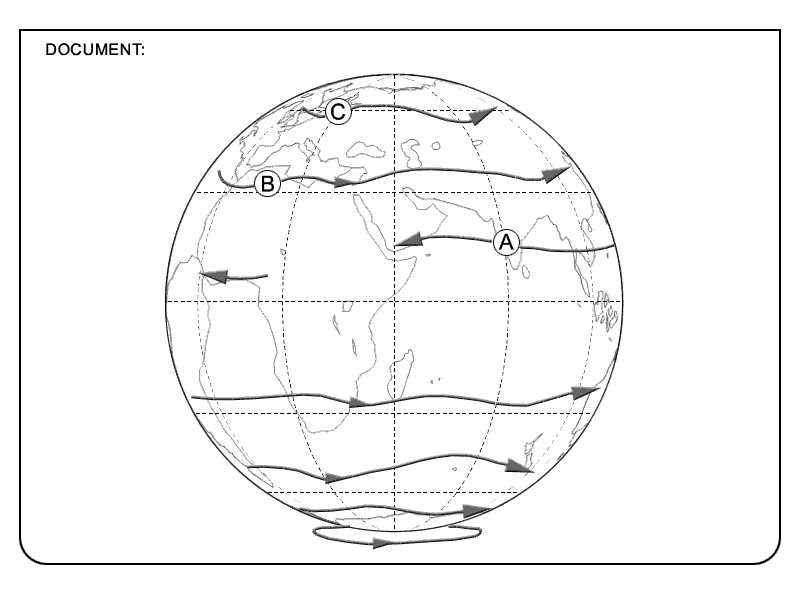 2 or 3.
 Considering a strapdown inertial system the operating principle requires the ?
Question 50-30 : 3 laser gyros and 3 accelerometers 2 laser gyros and 3 accelerometers 3 laser gyros and 2 accelerometers 2 laser gyros and 2 accelerometers
 3 laser gyros and 3 accelerometers.
 Compared with a stabilised platform inertial system a strapdown inertial system ?
Question 50-31 : 2 3 2 4 1 3 1 4
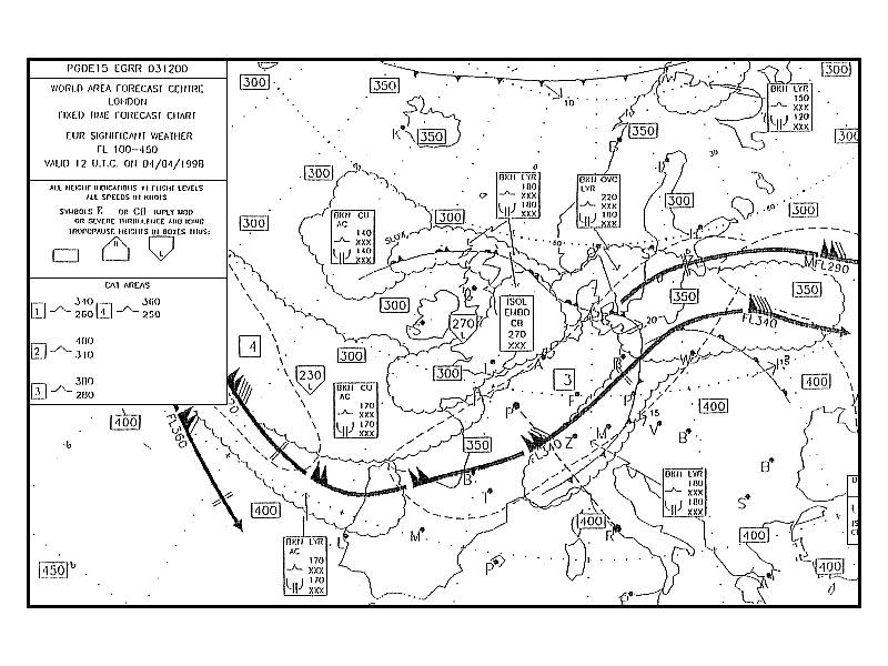 2, 3.
2, 3. A strapdown inertial system consists in ?
Question 50-32 : A platform attached to the aircraft chassis and which includes gyroscopes and accelerometers a platform free of the aircraft chassis which includes gyroscopes and accelerometers accelerometers attached to the aircraft chassis and gyroscopes which are not gyroscopes attached to the aircraft chassis and accelerometers which are not
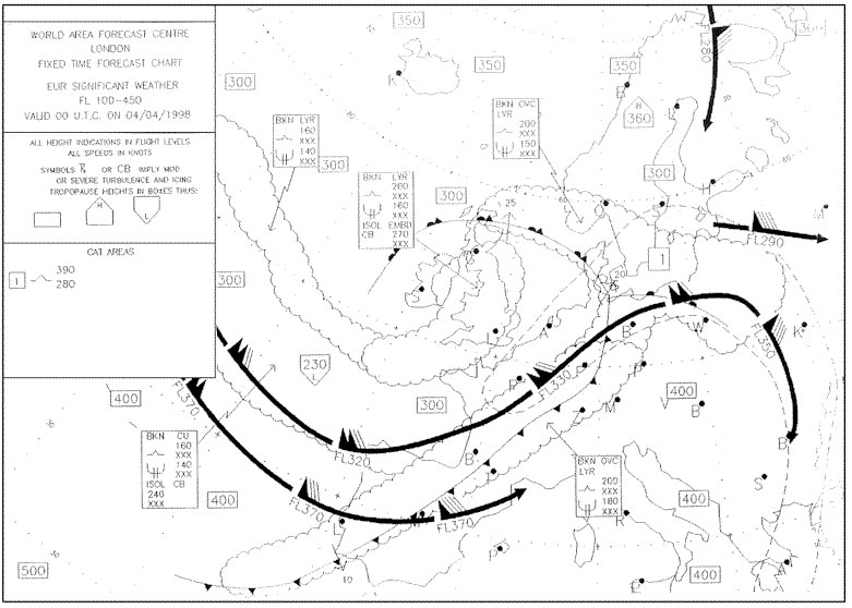 A platform attached to the aircraft chassis and which includes gyroscopes and accelerometers.
 In an inertial navigation system integrating once the speed in gives ?
Question 50-33 : A distance travelled a position an instantaneous acceleration an average acceleration
 A distance travelled.
 An inertial navigation system ins is ?
Question 50-34 : A self contained system which operates without signals from the ground a radio navigation system a hyperbolic navigation system a system which operates on the doppler principle
 A self contained system which operates without signals from the ground.
 A ring laser gyro can measure ?
Question 50-35 : Rotation about its sensitive axis accelerations about its sensitive axis rotation in all directions accelerations in all direction
 Rotation about its sensitive axis.
 The data that needs to be inserted into an inertial reference system in order ?
Question 50-36 : Aircraft position in latitude and longitude or airport icao identifier aircraft heading the position of an in range dme the navigation database reference
 Aircraft position in latitude and longitude or airport icao identifier.
 The alignment phase of a gyro stabilized platform consists in ?
Question 50-37 : Levelling the platform and determining its orientation aligning the platform axis with the aircraft axis pitch roll yaw aligning the platform axis with the aircraft pitch axis only aligning the platform axis with the aircraft roll axis only
 Levelling the platform and determining its orientation.
 A laser gyro can measure ?
Question 50-38 : A rotation motion an acceleration an acceleration and a rotation motion an acceleration and a speed
 A rotation motion.
 A ring laser gyro is ?
Question 50-39 : A device which measures angular movements an optical accelerometers used for stabilising the ins platform a device which measures the earth rate precession
 A device which measures angular movements.
 Considering a strapdown inertial system the iru inertial reference unit measures ?
Question 50-40 : Accelerations and angular rates angular accelerations only angular rates only linear accelerations only
 Accelerations and angular rates.
 ~
Exclusive rights reserved. Reproduction prohibited under penalty of prosecution.
1959 Free Training Exam Other source study: Ppl exam examen 50
