The system capable to measure on the ground the signal errors transmitted by ? [ Answer reports ]
Question 197-1 : Sbas gbas abas rbas
 Sbas.
Sbas. A ground based augmentation system gbas supports all phases of approach landing ?
Question 197-2 : 30 km 100 km 10 km 60 km
 30 km.
 Frequency band of the gbas data link is ?
Question 197-3 : Vhf band of ils and vor systems a signal with the same frequency as gps vhf band 108 0 111 975 mhz uhf band between 960 1215 mhz
 Vhf band of ils and vor systems.
 Gbas ground subsystems provide two services the precision approach service and ?
Question 197-4 : Deviation guidance for final approach segments horizontal position information to support rnav operations deviation guidance for going around segment horizontal position information on ground
 Deviation guidance for final approach segments.
 Gbas ground subsystems provide two services the precision approach service and ?
Question 197-5 : Horizontal position information to support rnav operations in terminal areas deviation guidance for final approach segments horizontal position information for initial segment deviation guidance for en route segment
 Horizontal position information to support rnav operations in terminal areas.
 Minimum ground based augmentation system gbas plan coverage is ?
Question 197-6 : 15 nm from the landing threshold point within 35° apart the final approach path and 10° apart between 15 and 20 nm 25 nm from the landing threshold point within 35° apart the final approach path and 10° apart between 25 and 30 nm 15 nm from the landing threshold point within 45° apart the final approach path and 20° apart between 15 and 20 nm 25 nm from the landing threshold point within 45° apart the final approach path and 20° apart between 25 and 30 nm
 15 nm from the landing threshold point within 35° apart the final approach path and 10° apart between 15 and 20 nm.
 The vdb vhf data broadcast broadcasts the gbas signal within its coverage area ?
Question 197-7 : Error correction data integrity data and approach data for one or more runways integrity data and approach data for one runway error correction data integrity data and approach data for one runway error correction data and integrity data
 Error correction data, integrity data and approach data for one or more runways.
 Which statement is correct about the sbas satellite based augmentation systems ?
Question 197-8 : In an sbas the pseudo range corrections are sent to the users by geostationary satellites in an sbas the pseudo range correction are sent to the users by the satellite of the satellite systems e g by gps satellites for gps in an sbas the pseudo range correction are determined by geostationary satellites and sent to the users by the satellites of the satellite system e g by gps satellites for gps in an sbas the pseudo range correction are determined by geostationary satellites and sent to the users by a network of ground station
 In an sbas the pseudo-range corrections are sent to the users by geostationary satellites.
 Which statement is correct about glonass/navstar gps/galileo ?
Question 197-9 : All three systems use time measurement to determine a position they are all using the same frequencies to permit a single receiver to work all three systems for position fixing they are all based on the wgs84 ellipsoid they are all reach their degree of accuracy in polar areas
 All three systems use time measurement to determine a position.
 Gps time can be converted to utc by application of the ?
Question 197-10 : Utc parameters sent in the navigation message fixed rule correction given by atomic clocks time correction filtering formula
 Utc parameters sent in the navigation message.
 Utc parameters is the difference between ?
Question 197-11 : Gps time and utc gmt and utc satellite time and utc receiver time and utc
 Gps time and utc.
 Errors in gps satellites orbits are due to ?
Question 197-12 : The solar wind and gravitation of sun moon and planets earth and lunar precession the lunar wind and gravitation of earth moon and stars solar and lunar precession
 The solar wind and gravitation of sun, moon and planets.
 When a gps receiver is using barometric altitude as an augmentation to raim ?
Question 197-13 : The number of satellites to perform raim function may be reduced by one failure reporting time will be reduced the accuracy of displaced position will be greatly enhanced better correction for ionospheric delay will be available
 The number of satellites to perform raim function may be reduced by one.
 Assume that one of the gps/navstar satellites used by the receiver is faulty ?
Question 197-14 : Able to detect that one satellite that is faulty and identify which one not active software needs 8 satellites to function correctly unable to identify the faulty satellite able to detect that one satellite that is faulty but is unable to identify it
 Able to detect that one satellite that is faulty and identify which one.
 How long does it take a glonass satellite to orbit the earth ?
Question 197-15 : 11 hours 15 minutes 12 hours 24 hours 1 hour 10 minutes
 11 hours 15 minutes.
 Using gps the primary position information is in the form of ?
Question 197-16 : Spheres with the satellites in the centre of the spheres spheres with the airplane in the centre of the spheres bearing and distance from the satellites three dimensional position with earth's centre as reference
 Spheres, with the satellites in the centre of the spheres.
 Which statement about satellite based augmentation system sbas is correct ?
Question 197-17 : The use of sbas improves both the accuracy and the integrity of the position of the user the use of sbas improves the accuracy of the position of the user but not improves the integrity the use of sbas improves neither the integrity nor the position of the user but augments both the number satellite available the use of sbas improves the integrity of the position of the user but not improves the accuracy
 The use of sbas improves both the accuracy and the integrity of the position of the user.
 Which of the following is not improved by the application of differential gps ?
Question 197-18 : Multi path effects selective availability tropospheric delays satellite clock error
 Multi-path effects.
 In egnos and waas systems the correction for an aeroplane's gnss receiver are ?
Question 197-19 : Via geostationary satellite from the monitor stations via the gnss constellation by the wide area master station
 Via geostationary satellite.
 Which of the following statements about the accuracy that can be obtained with ?
Question 197-20 : The closer the receiver is to a laas ground reference station the more accurate is the aircraft position fix a laas corrects the position of the aircraft by relaying the information via geostationary satellite the increase in accuracy of position fixes is independent of the aircraft position in relation to the laas ground reference station a laas cannot correct for satellite timing and orbital position error
 The closer the receiver is to a laas ground reference station, the more accurate is the aircraft position fix.
 Which of the following is the geodesic model used by the glonass system ?
Question 197-21 : Pz 90 wgs84 ed60 ed90
 Pz-90.
 At what approximate height above the wgs 84 ellipsoid are glonass satellites ?
Question 197-22 : 19100 km 10900 km 36000 km 19500 km
 19100 km.
 What is the difference between satellites used by egnos and those used by gps ?
Question 197-23 : Egnos satellites are geostationary and gps satellites are not gps satellites are geostationary and egnos satellites are not egnos satellites orbit at lower height than gps satellites gps satellites orbit circling the earth at 19100 km
 Egnos satellites are geostationary and gps satellites are not.
 What are the data elements transmitted by navstar gps satellites .1 offset of ?
Question 197-24 : 1 2 3 4 1 2 3 4 5 1 2 3 2 3 4
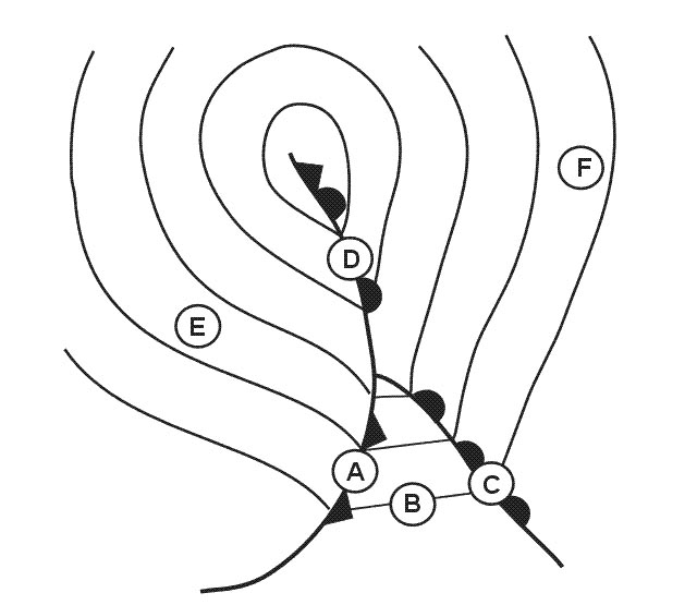 1, 2, 3, 4.
 One of the advantages of a satellite based augmentation system sbas over a ?
Question 197-25 : The coverage area of an sbas is much larger than that of a gbas a gbas does not need satellite signals an sbas does an sbas does not need ground stations a gbas does the coverage area of a gbas is much larger than that of an sbas
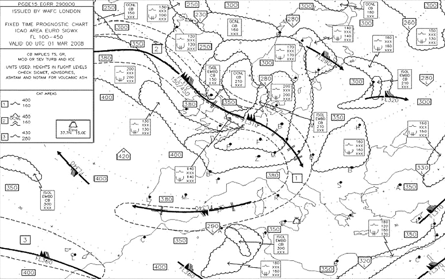 The coverage area of an sbas is much larger than that of a gbas.
 Raim is achieved ?
Question 197-26 : Within the receiver by ground monitoring stations determining the satellite range errors which are relayed to receivers via geo stationary satellites by ground stations determining the x y and z errors and passing the corrections to receivers using pseudolites within the satellite clock
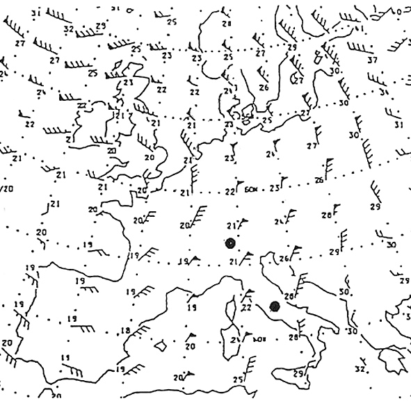 Within the receiver.
 Aaim aircraft autonomous integrity monitoring function is achieved with ?
Question 197-27 : A gps receiver and on board sensors on board sensors only a ground station and a gps receiver a gps receiver only
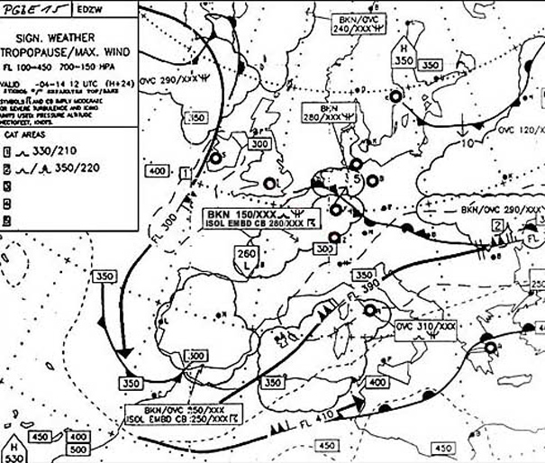 A gps receiver and on-board sensors.
 The purpose of the aaim aircraft autonomous integrity monitoring function is to ?
Question 197-28 : Monitor satellite signals only track visible satellites monitor airborne navigation equipments only monitor satellite signals and airborne navigation equipments
 Monitor satellite signals only.
 By using egnos in combination with gps ?
Question 197-29 : The integrity is improved by reducing the mean failure reporting time from up to 3 hours to 6 seconds the integrity is reduced by increasing the mean failure reporting time it reduce the time it takes to get an initial fix by 10% the accuracy of the satellites position is improved
 The integrity is improved by reducing the mean failure reporting time from up to 3 hours to 6 seconds.
 Which of the following statements concerning differential gps is true ?
Question 197-30 : Dgps can improve the accuracy of position information local area dgps gives the same improvement in accuracy regardless of distance from the station dgps removes sv ephemeris and clock errors and propagation errors wide area dgps accuracy improves the closer the aircraft is to the ground station
 Dgps can improve the accuracy of position information.
 The transmission band used by inmarsat is ?
Question 197-31 : Uhf shf hf vhf
 Uhf.
Uhf. How long does it take a galileo satellite to orbit the earth ?
Question 197-32 : 14 hours 12 hours 24 hours 11 hours
 14 hours.
 The nominal galileo constellation consists of ?
Question 197-33 : 30 satellites 3 planes at an altitude of 23200 km 24 satellites 6 planes at an altitude of 19100 km 30 satellites 3 planes at an altitude of 20200 km 24 satellites 3 planes at an altitude of 20200 km
 30 satellites, 3 planes at an altitude of 23200 km.
 In the nav message the 'ephemeris' refers to the exact ?
Question 197-34 : Position and orbit of the observed satellite the observed satellite clock corrections position and orbit of all the satellites in the same orbit position and orbit of all the satellites in the constellation
If a gps malfunction occurs integrity and safety are improved with egnos by ?
Question 197-35 : 6 seconds 10 seconds 15 seconds 0 3 seconds
 6 seconds.
 Usually a gps provides the following informations ?
Question 197-36 : X y z + ground speed + precise time reference x y z + ground speed x y z + precise time reference x y z
 X, y, z + ground speed + precise time reference.
 Sbas .how does the pseudo range correction of a gps system work ?
Question 197-37 : The pseudo range correction of a certain satellite is divided into separate correction of the ephemeris errors clock errors and ionospheric errors each user receives only the pseudo range corrections of the satellites of which he is visible in order to guarantee the navigation message for an sbas pseudo range corrections are determined by the geostationary satellites and synchronized to the users by the ground stations pseudo range corrections are determined by a ground station network and for all satellites the same correction is sent to all users
The gnss constellation is composed of satellites distributed in orbits at ?
Question 197-38 : 24 6 20200 km 30 3 23200 km 30 4 20200 km 24 3 19100 km
What are the characteristics of a satellite based augmentation system sbas ?
Question 197-39 : The system is limited to areas of a certain proximity to the equator due to the nature of the transmission of the correction signal via geostationary satellite the coverage is optimal during daytime the system is limited to areas of a certain proximity to the equator due to the nature of the transmission of the correction signal via a navigation satellite the accuracy is greatest at the poles
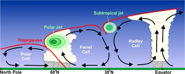 The system is limited to areas of a certain proximity to the equator due to the nature of the transmission of the correction signal via geostationary satellite.
 Satellite based augmentation systems sbas certified and currently in use are ?
Question 197-40 : Egnos waas msas gagan egnos and galileo gnss waas galileo waas and glonass
 Egnos, waas, msas, gagan.
 ~
Exclusive rights reserved. Reproduction prohibited under penalty of prosecution.
7839 Free Training Exam
