Which statement regarding the apparent sun and the mean sun is correct ? [ Formation assignment ]
Question 160-1 : The apparent sun is the visible sun the mean sun is a fictitious sun the apparent sun is a fictitious sun coupled to utc the mean sun is related to the local mean time the mean sun moves along the ecliptic the apparent sun along the celestial equator the apparent sun is not important for navigation as difference in time with the mean sun is maximal 4 seconds
 The apparent sun is the visible sun, the mean sun is a fictitious sun.
 The declination of the sun is defined as ?
Question 160-2 : The angular distance of the sun north or south of the celestial equator the arc of the meridian of the sun measured from the nearest pole to the sun the arc from the celestial horizon to the sun measured along a vertical line perpendicular on the horizon the arc along the celestial sphere from zenith to the sun
 The angular distance of the sun north or south of the celestial equator.
 The time interval between sunrise and sunset is dependent on ?
Question 160-3 : The declination of the sun and the latitude of the observer the date and the longitude of the observer the latitude and the longitude of the observer the inclination of the axis of the earth and the longitude of the observer
 The declination of the sun and the latitude of the observer.
 The definition of true north for any observer is ?
Question 160-4 : The direction of the observer's meridian to the north pole the direction of the greenwich meridian to the north pole the direction of the observer's magnetic north corrected for local variation the reading of the observer's compass corrected for deviation and local variation
 The direction of the observer's meridian to the north pole.
 A definition of a magnetic track angle is ?
Question 160-5 : The direction of a line referenced to magnetic north the direction of the longitudinal axis of an aircraft referenced to magnetic north the direction of the longitudinal axis of an aircraft referenced to compass north the direction of a line referenced to the isogonic line to the magnetic north pole
 The direction of a line referenced to magnetic north.
 The main reason for the occurrence of seasons on earth is ?
Question 160-6 : The inclination of the earth axis with regard to the plane of the ecliptic the distance between the sun and the earth the elliptical form of the orbit of the earth around the sun the length of the day as stated by the second law of kepler
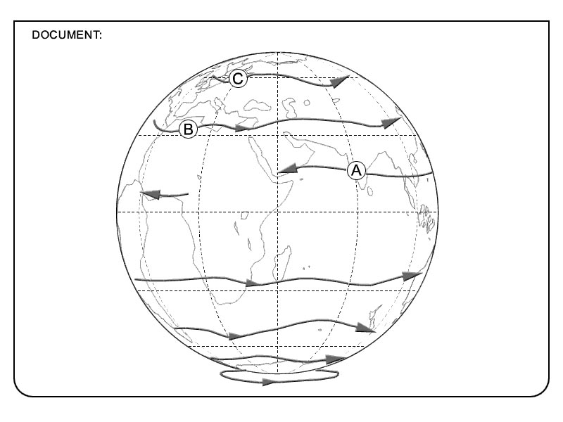 The inclination of the earth axis with regard to the plane of the ecliptic.
 The length of the apparent solar day varies continuously throughout a year this ?
Question 160-7 : The tilt of the earth's axis and the elliptical orbit of the earth around the sun the equation of time the fact that the earth is closest to the sun around the 1st of january the fact that the earth is closest to the sun around the 1st of july
 The tilt of the earth's axis and the elliptical orbit of the earth around the sun.
 Which definition of the equator is correct ?
Question 160-8 : The equator is a greatcircle with its plane perpendicular to the earth rotational axis the equator is a greatcircle with its plane parallel to the earth rotational axis the equator is a small circle with its plane perpendicular to the earth rotational axis the equator is a small circle the plane is parallel to the earth rotational axis
 The equator is a greatcircle with its plane perpendicular to the earth rotational axis.
 The direction 'magnetic north' at a position on the earth is ?
Question 160-9 : The direction of the horizontal component of the earth's magnetic field at that position the great circle between the position and the magnetic north pole the isogonal to the magnetic north pole the compass north at that position corrected for variation
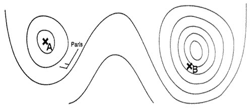 The direction of the horizontal component of the earth's magnetic field at that position.
 In which statement is the 'mean sun' best described ?
Question 160-10 : The mean sun is a fictitious sun coinciding each year with the apparent sun at the spring equinox and travelling along the celestial equator at uniform speed the mean sun is a fictitious sun coinciding each year with the apparent sun at the spring equinox and travelling along the ecliptic at uniform speed the mean sun is a fictitious sun the orbit of which coincides with that of the apparent sun but is corrected for mean astronomical and atmospheric refraction the mean sun is a fictitious sun the orbit of which coincides with that of the apparent sun but is corrected for the mean difference in hour angle
 The mean sun is a fictitious sun coinciding each year with the apparent sun at the spring equinox and travelling along the celestial equator at uniform speed.
 Which statement about the orbit of the earth is correct ?
Question 160-11 : The orbit of the earth around the sun is an ellipse with the sun at one of the foci the orbit of the earth around the sun is a circle with the sun at its centre the orbit of the earth around the sun is an ellipse with the sun at a point halfway between the two foci the orbit of the earth is a circle with the sun at a point next to its centre
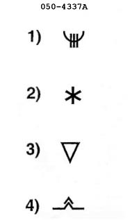 The orbit of the earth around the sun is an ellipse with the sun at one of the foci.
 The reason that the solar day lasts longer than the sidereal day is that ?
Question 160-12 : Both the direction of rotation of the earth around its axis and its orbital rotation around the sun are the same the orbital track of the earth around the sun is an ellipse the sun has an own movement through the universe opposite to the movement of the earth due to the gravitational forces of celestial bodies the orbital speed of the earth around its axis diminishes slowly
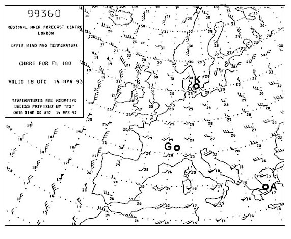 Both the direction of rotation of the earth around its axis and its orbital rotation around the sun are the same.
 Which definition describes best the notion 'poles' ?
Question 160-13 : The poles are the points of intersection between the earth's axis and the surface of the earth the poles are the points of intersection between the surface of the earth and the extended line joining the star polaris with the centre of the earth the poles are the points on the surface of the earth which have the same distance to all points of the ecliptic the poles are the points on the surface of the earth where gravity acts under an angle of exactly 90°
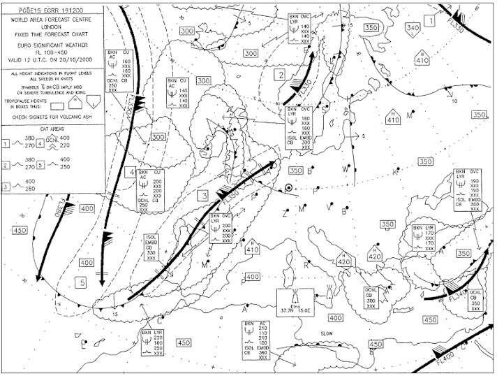 The poles are the points of intersection between the earth's axis and the surface of the earth.
 'a' latitude is 00°n/s .'b' is located at 33°n 101°e .true track great ?
Question 160-14 : 057° 123° 237° 303°
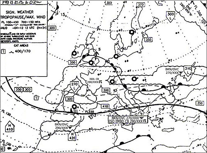 057°.
057°. Given two positions .a 56°s 010°w and b 56°s 030°w .which statement is true ?
Question 160-15 : The departure between a and b is more than great circle distance between a and b the departure between a and b is equal to or more than great circle distance between a and b the departure between a and b is less than the great circle distance between a and b the departure between a and b is equal to the great circle distance between a and b
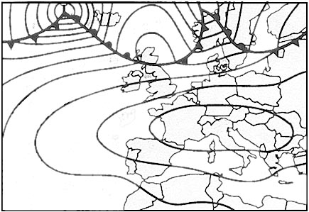 The departure between a and b is more than great circle distance between a and b.
 Standard time for same areas is listed in the air almanac as utc +13 instead of ?
Question 160-16 : Keeping the same date as the political and or economical entity to which they belong the fact that they are keeping daylight saving time the sense of the earth rotation the setup of the sunrise/sunset tables
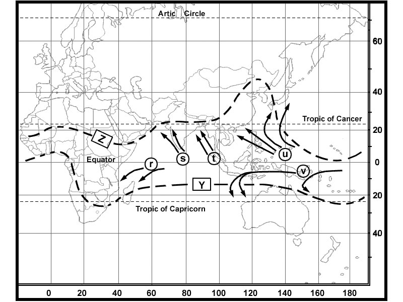 Keeping the same date as the political and or economical entity to which they belong.
 Polar circles are line of latitude at ?
Question 160-17 : 67° n/s 60° n/s 70° n/s 80° n/s
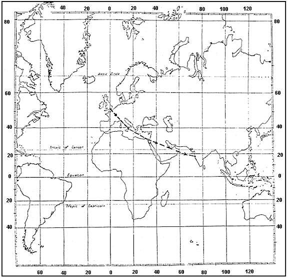 67° n/s.
 Mu'a tonga islands is situated at 21°11's 175°07'w .in the air almanac the ?
Question 160-18 : 06 59 on august 22nd 06 59 on august 21st 07 39 on august 21st 07 39 on august 22nd
 06:59 on august 22nd.
 Position 'elephant point' is situated at 58°00'n 135°30'w .standard time for ?
Question 160-19 : 15 55 on january 20th 08 57 on january 21st 16 57 on january 20th 09 59 on january 21st
 15:55 on january 20th.
 The direction of the earth's rotation on its axis is such that ?
Question 160-20 : Observed from the point above the north pole the rotation is counterclockwise any point on the surface of the earth will move eastward an observer on the surface of the earth always will face west when observing sunrise any point on the surface of the earth will move westward
 Observed from the point above the north pole, the rotation is counterclockwise.
 The sun's declination is ?
Question 160-21 : The sun's position relative to the plane of equator the angular distance between the sun and the celestial north pole the sun's position relative to the ecliptic the distance between the sun and the horizon
 The sun's position relative to the plane of equator.
 The sun's declination is on a particular day 12°s midnight sun may this day be ?
Question 160-22 : South of 78°s north of 78°s north of 78°n at 78°s only
 South of 78°s.
 The term 'sidereal' is used ?
Question 160-23 : To describe a situation or relationship concerning the stars to describe how two positions of heavenly bodies are located sideways on the sky to describe the time interval between two successive transits of the real apparent sun at the same meridian to describe conditions with reference to the moon
 To describe a situation or relationship concerning the stars.
 The mean sun ?
Question 160-24 : Moves with constant speed along the celestial equator has a declination equal to the apparent sun is the middle position of the sun is only of interest to users of astronomical navigation
 Moves with constant speed along the celestial equator.
 In its path around the sun the axis of the earth has an inclination ?
Question 160-25 : Of 66°33' with the plane of the path varying between zero and 23°27' with the plane of the path of 23°27' with the plan of equator varying with the season of the year
 Of 66°33' with the plane of the path.
 As seen from an observer on the surface of the earth ?
Question 160-26 : The apparent sun is always in the plane of the ecliptic the stars will seem to move from west to east during a year the sun's position relative to the stars is fixed throughout the year the sun is in fixed position relative to the stars
 The apparent sun is always in the plane of the ecliptic.
 The time it takes for the earth to complete one orbit around the sun is ?
Question 160-27 : 365 days 5 hours 48 minutes and 45 seconds 360 days 5 hours 45 minutes and 48 seconds 360 days 45 hours 5 minutes and 48 seconds 365 days 45 hours 48 minutes and 5 seconds
 365 days, 5 hours, 48 minutes and 45 seconds.
 When the sun's declination is northerly ?
Question 160-28 : The daylight period is shorter in the southern hemisphere than the northern midnight sun may be observed at the south pole the sunrise occurs earlier at southern latitudes than the northern latitudes it is winter on the northern hemisphere
 The daylight period is shorter in the southern hemisphere than the northern.
 What is 'vertex' ?
Question 160-29 : The point on the great circle with greatest latitude the point on the small circle with greatest latitude the point on the great circle where it intersects the rhumb line the point on the great circle where it intersects the equator
 The point on the great circle with greatest latitude.
 Which statement about the vertex of a great circle is always true ?
Question 160-30 : In the vertex the true track is 090° or 270° in the vertex the true heading is 090° or 270° in the vertex the true track is 090° in the vertex the true track is 270°
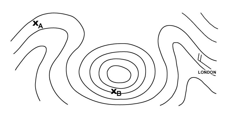 In the vertex the true track is 090° or 270°.
 A small circle ?
Question 160-31 : Has a plane that does not pass through the centre of the earth has a plane that passes through the centre of the earth is a spiral to the north pole is a random northerly track to the pole
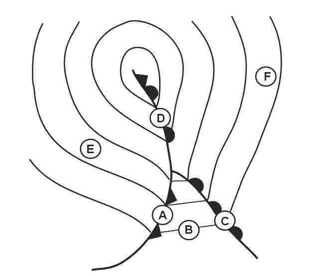 Has a plane that does not pass through the centre of the earth.
 Spring and autumn equinox are the moments at which the sun reaches ?
Question 160-32 : A declination of 0° a declination of 23 5° a declination of 66 5° the highest declination
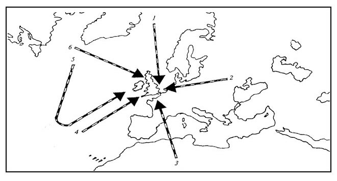 A declination of 0°.
 An aircraft at latitude 02°20'n tracks 360° t for 685 km on completion of the ?
Question 160-33 : 08°29'n 03°50's 02°45's 06°01'n
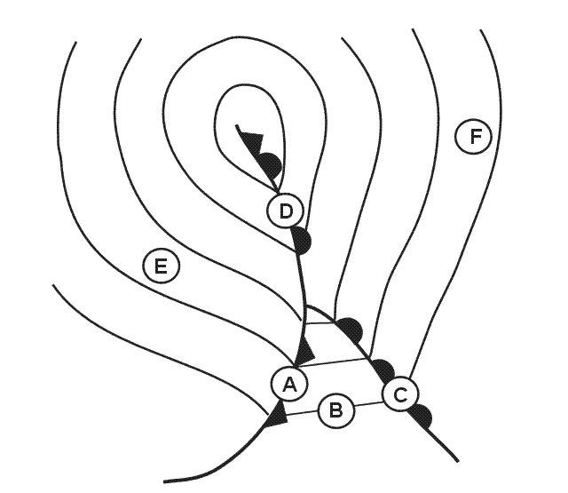 08°29'n.
 Given .a 50°n 070°w and b 50°n 080°w and the position of one of the ?
Question 160-34 : 50°06 4s 105°00 0'e 50°06 4'n 075°00 0'e 50°06 4s 075°00 0'w 50°06 4'n 105°00 0'w
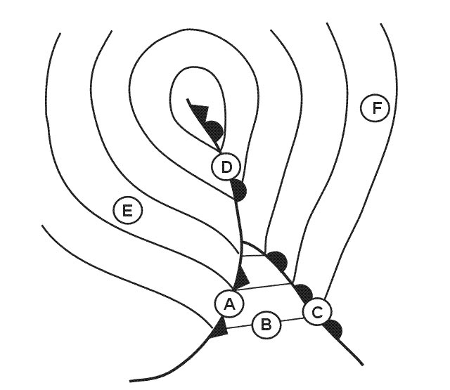 (50°06.4s, 105°00.0'e).
 Sunrise in dublin 53°29'n 006°15'w is 06 23 lmt calculate the sunrise at ?
Question 160-35 : 06 23 07 23 05 23 07 49
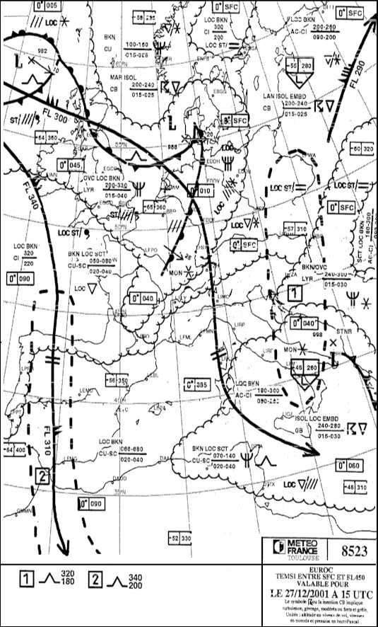 06:23.
 Calculate the difference in lmt between dublin 53°29'n 006°15'w and bremen ?
Question 160-36 : 01h 00m 02h 00m 00h 00m 03h 00m
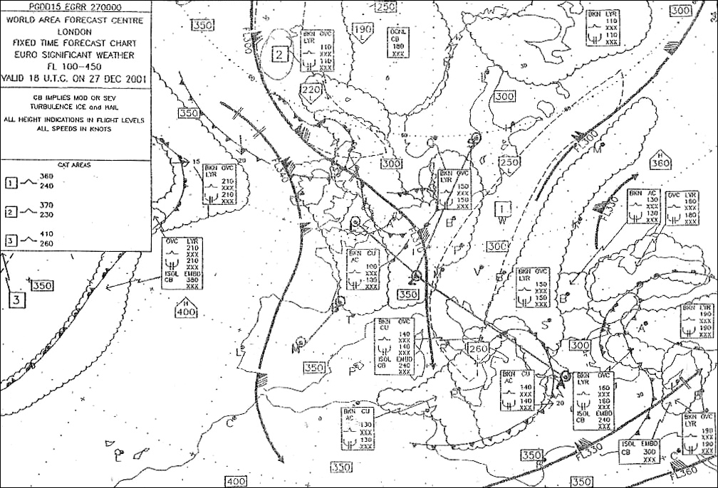 01h 00m.
 Calculate the approximate distance from waypoint dbu 53°29 0'n 000°28 6'w to ?
Question 160-37 : 329 4 nm 284 nm 385 5 nm 304 2 nm
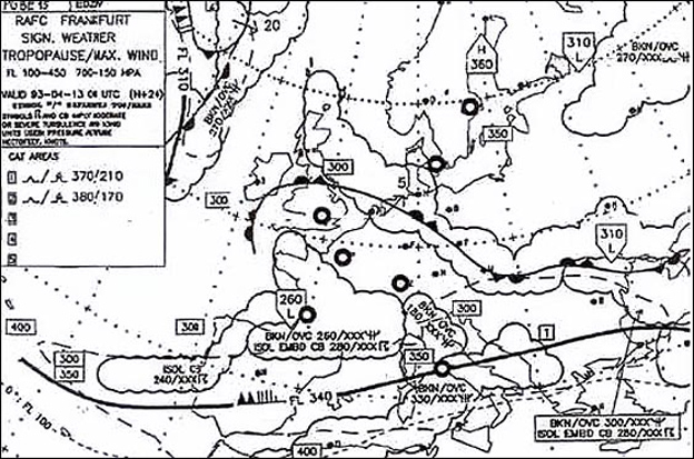 329.4 nm.
 Calculate the approximate distance from dublin 53°29 0'n 006°15 3'w to a ?
Question 160-38 : 535 7 nm 435 9 nm 565 2 nm 636 6 nm
 535.7 nm.
 Route a 53°24'n 015°54'e to b 32°00'n 052°51'w .distance flight plan is ?
Question 160-39 : 08 00 st a 05/08 14 00 st a 04/08 03 00 st a 05/08 05 00 st a 05/08
 08:00 st(a) 05/08.
 In producing chart projections the following projection surfaces may be used ?
Question 160-40 : Plane cylinder cone plane sphere cone cylinder sphere plane parabola cone plane cylinder
 Plane, cylinder, cone.
 ~
Exclusive rights reserved. Reproduction prohibited under penalty of prosecution.
6359 Free Training Exam
